🧊 Cold Weather Alert Overview
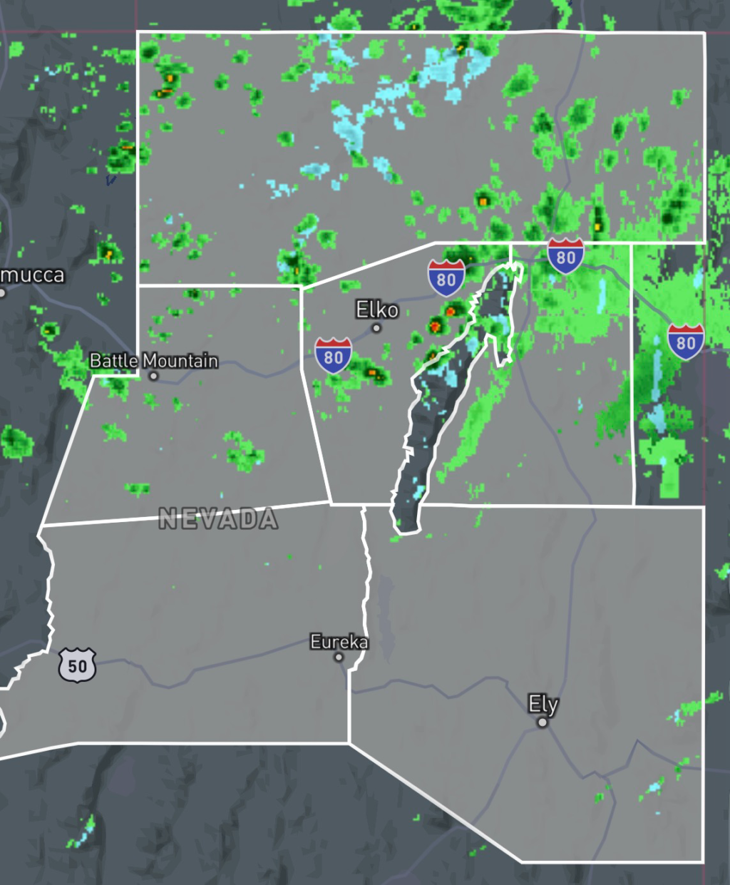
The National Weather Service in Elko, Nevada has issued a Freeze Watch for portions of northeastern and central Nevada, including:
- White Pine County
- Southern Lander County
- Southern Eureka County
- Northern Elko County
- Southwest Elko County
The freeze watch is in effect from Sunday evening through Monday morning, with temperatures expected to drop into the 28°F to 32°F range in the coldest locations.
This cold snap comes after a period of wind and frost conditions and highlights an unusual early-season freeze threat for late June conditions in higher elevation valleys.
🌡️ Expected Temperatures and Conditions
Meteorologists are forecasting:
- Overnight lows: 28°F to 32°F
- Widespread frost formation in sheltered valleys
- Calm to light winds overnight allowing radiational cooling
- Coldest readings in rural and higher elevation zones
Some areas such as parts of Northern Elko County could experience even colder localized pockets, especially in valleys where cold air settles.
🌬️ Ongoing Weather Hazards
In addition to the freeze watch, the region is also dealing with:
- Wind Advisory: Gusts up to 50 mph earlier in the day
- Frost Advisory (early period): Temperatures already near freezing in some zones
- Dry conditions: Increasing risk for rapid temperature swings
These overlapping hazards increase risks for both agriculture and outdoor infrastructure.
⚠️ Impacts of the Freeze Watch
Residents across the affected counties should prepare for potential impacts including:
🌱 Agriculture & Vegetation
- Damage or death to sensitive crops and garden plants
- Stress on early growing-season vegetation
- Possible loss of unprotected plants and seedlings
🚰 Infrastructure Risks
- Risk of frozen or damaged outdoor plumbing
- Increased strain on rural water systems in colder valleys
🚗 Travel & Safety
- Early morning frost may create slick surfaces
- Reduced visibility in valley fog pockets
- Cold starts affecting vehicles in rural areas
🧭 Why Nevada Sees Freeze Conditions in Late Spring/Early Summer
While it may seem unusual, freeze conditions are not uncommon in higher elevation Nevada counties such as Elko and White Pine.
Key factors include:
- High desert climate with dry air
- Elevations above 5,000–7,000 feet in many valleys
- Strong radiational cooling at night
- Limited humidity to trap heat overnight
These conditions allow temperatures to drop rapidly even during the warmer season.
🧊 Safety Recommendations
Residents in the affected counties should:
- Cover or bring in sensitive plants
- Insulate outdoor plumbing and irrigation systems
- Allow faucets to drip in vulnerable areas
- Keep pets indoors overnight when possible
- Monitor updated forecasts from the National Weather Service
📍 Final Outlook
The Freeze Watch remains in effect through Monday morning, with conditions expected to improve after sunrise as temperatures gradually warm. However, additional cold nights may still be possible depending on evolving weather patterns in northeastern Nevada.
Stay updated with official alerts from the National Weather Service Elko office for the latest warnings and advisories.