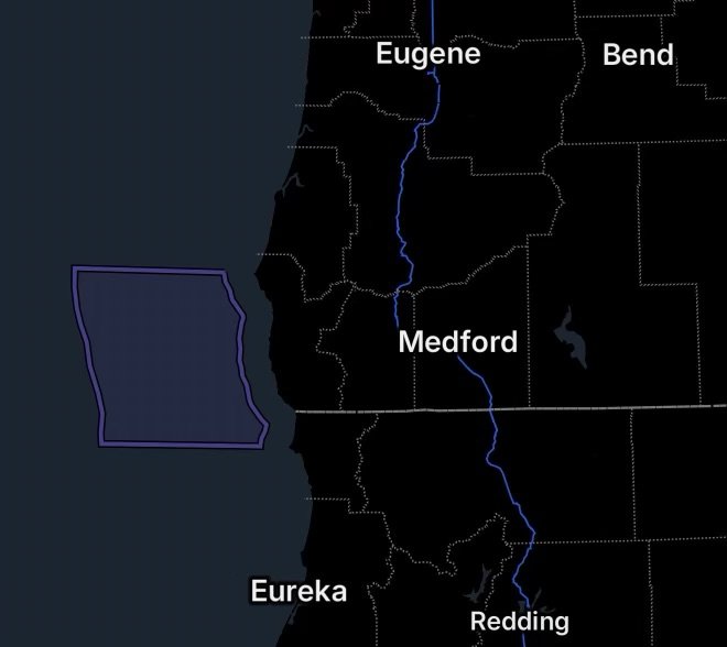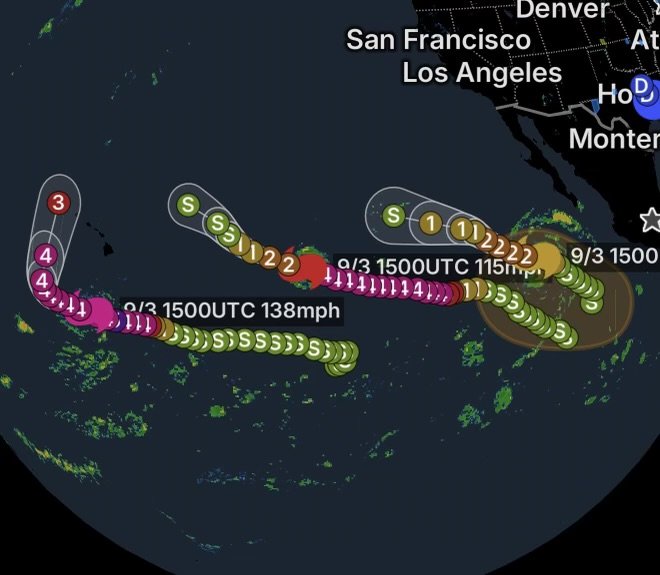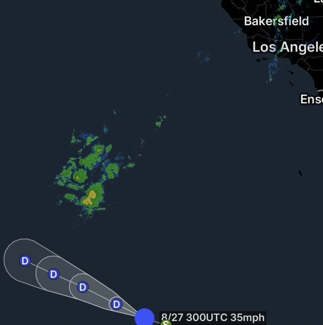
Tropical Storm Genevieve Update: Open Pacific Fade & Swells
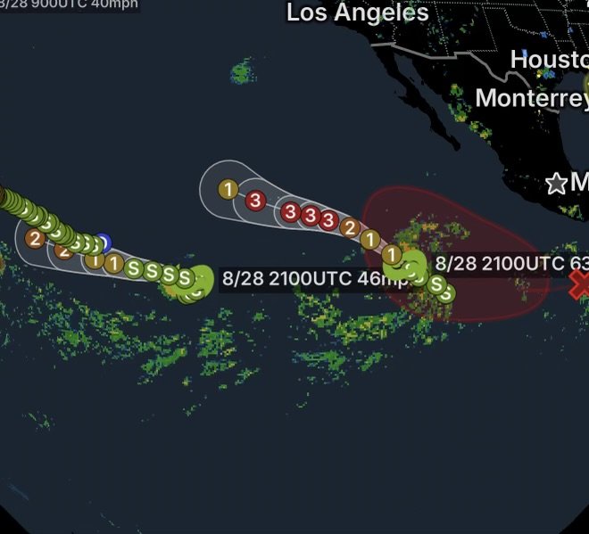
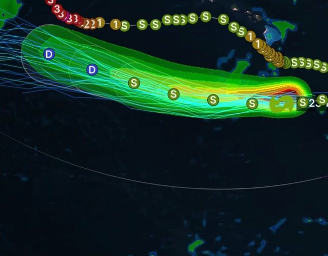
Get the latest update on Tropical Storm Genevieve for July 31, 2026. Track its path across the open Eastern Pacific, its gradual weakening, and dangerous…
Welcome to Radar Watch HQ – Your Trusted Source for Weather News, Severe Weather Updates, and Preparedness Information.
Helping You Stay Ahead of Severe Weather.
Get the latest update on Tropical Storm Genevieve for July 31, 2026. Track its path across the open Eastern Pacific, its gradual weakening, and dangerous…
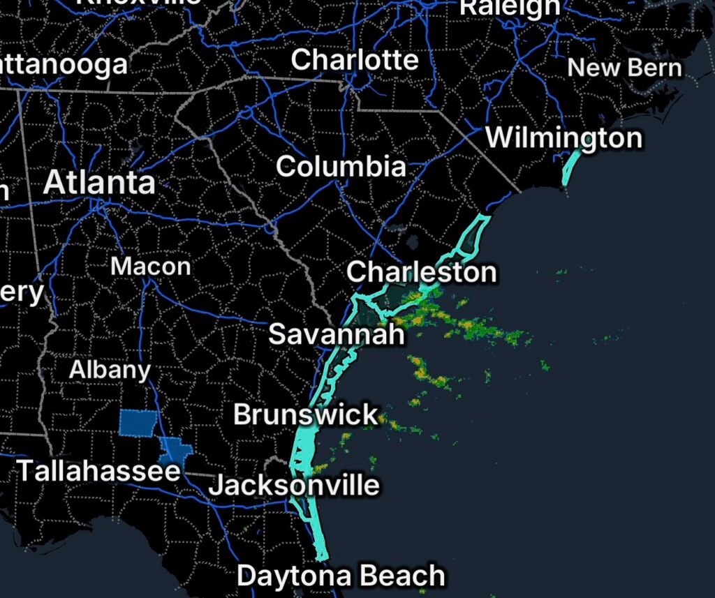
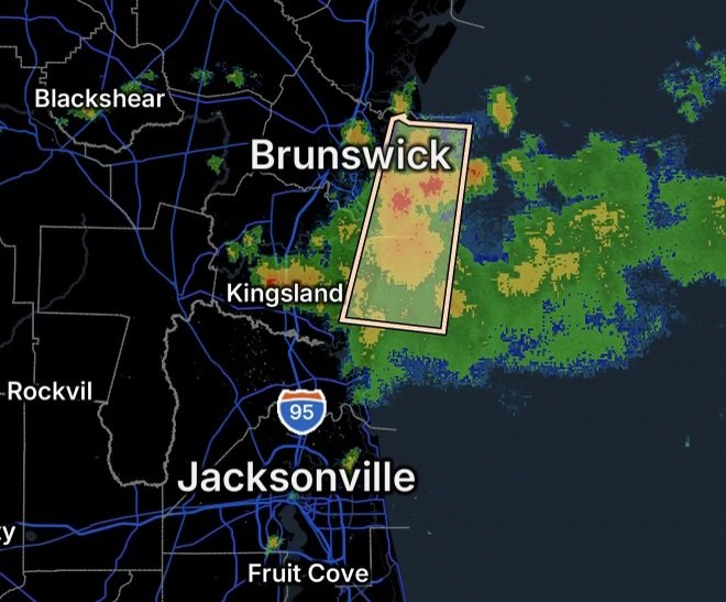
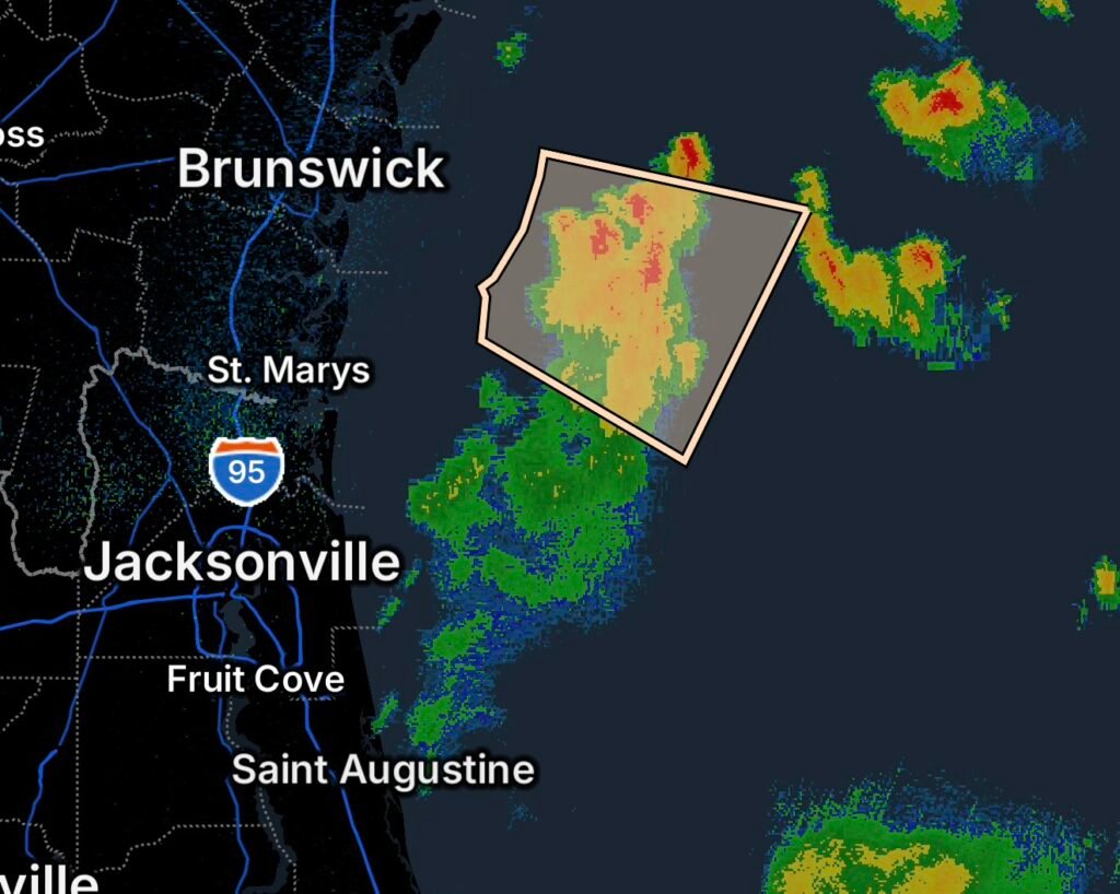
A Special Marine Warning is in effect for coastal waters from St. Augustine to Flagler Beach, FL, out 20 NM. Stay safe from sudden wind…
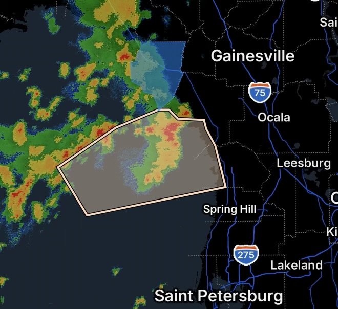
A Special Marine Warning is in effect for coastal and offshore waters from Tarpon Springs to the Suwannee River, FL. Stay safe from sudden wind…
A Special Marine Warning has been issued for the Gulf Coast, including coastal waters from Suwannee River to Keaton Beach out 20 NM and waters…
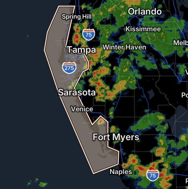
A high rip current risk remains in effect through Friday evening for Pinellas, Coastal Hillsborough, Coastal Manatee, Coastal Sarasota, Coastal Charlotte, and Coastal Lee counties….
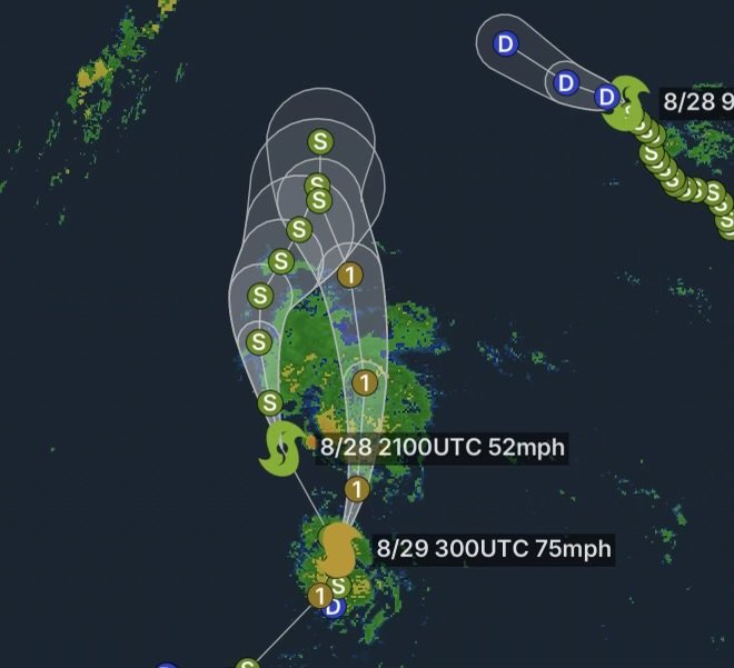
Post-Tropical Cyclone Fausto is passing north of the Hawaiian Islands, leaving behind strong trade winds, high seas, and active Small Craft Advisories. Get the latest…
Category 4 Typhoon Dolphin is located 395 miles SSE of Wake Island on July 29, 2026. Get the latest forecast, marine hazards, and storm update.
Post-Tropical Cyclone Fausto is 285 miles north of Hilo, Hawaii, bringing dangerous surf and a High Surf Advisory to east-facing shores on July 29, 2026.
Special Marine Warning issued for coastal waters from Cape May, NJ to Cape Henlopen and Fenwick Island, DE. Dangerous storms threaten mariners.
Tropical Storm Fausto weakens northeast of Hilo, but dangerous surf, tropical storm conditions, and marine hazards continue across Hawaii on July 28, 2026.
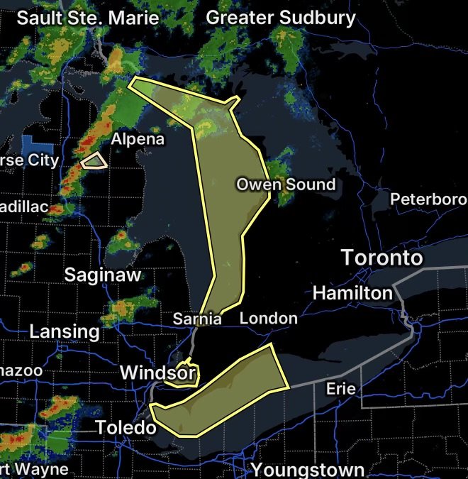
Special Marine Warning issued for Lake Ontario and the St. Lawrence River as strong thunderstorms bring dangerous winds, lightning, and hazardous boating conditions.
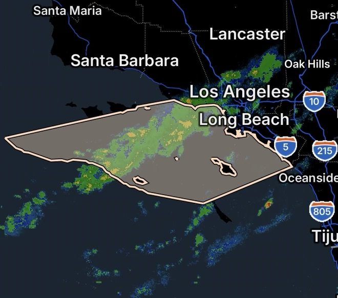
Category 4 Hurricane Genevieve is generating dangerous surf and rip currents along California beaches. Learn what residents should know before heading to the coast.
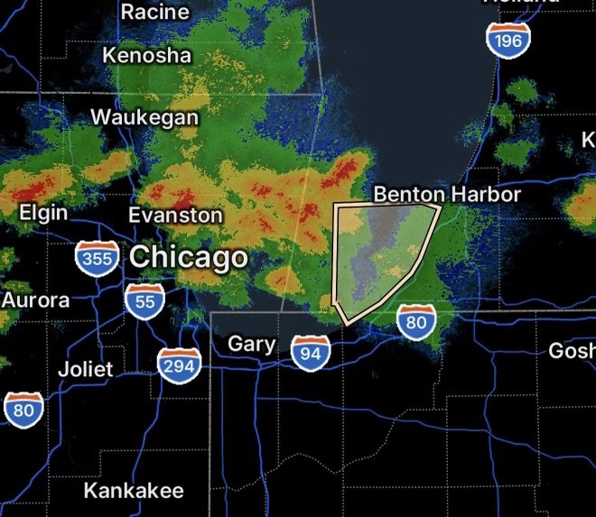
Special Marine Warning issued for Lake Michigan from North Point Light to Wind Point and Port Washington to North Point. Dangerous thunderstorms, strong winds, and…
Hurricane Fausto is 740 miles east of Hilo as Hawaii faces tropical storm warnings, storm warnings, high surf, and dangerous marine conditions.
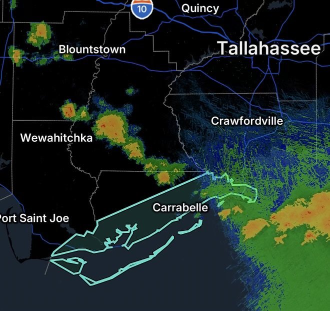
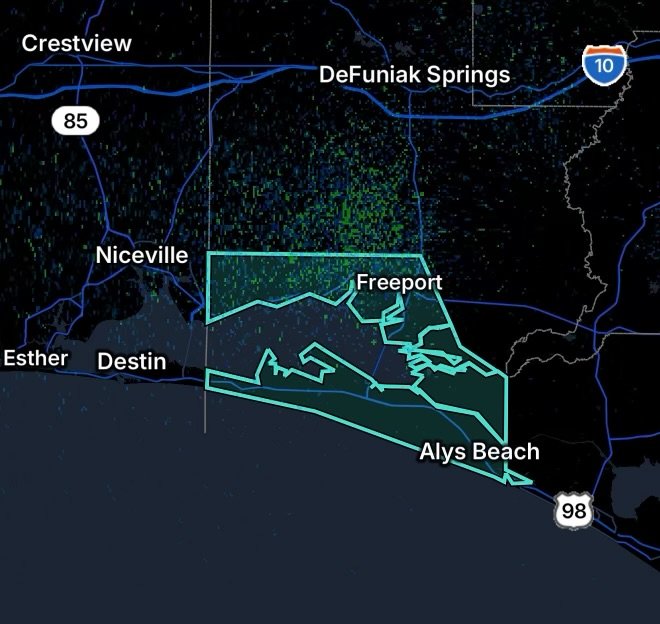
Special Marine Warning issued July 26, 2026, for coastal waters from Ochlockonee River to Apalachicola and Mexico Beach to Apalachicola, Florida.
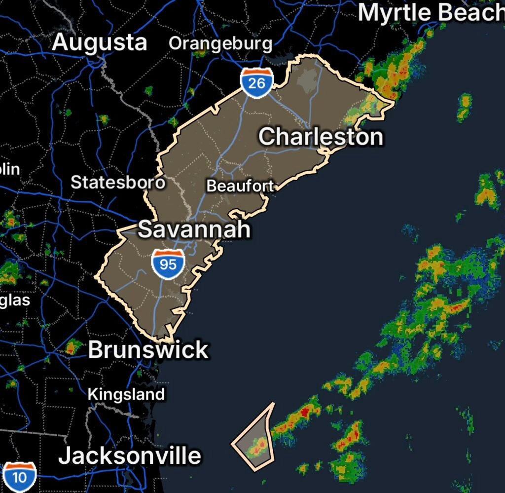
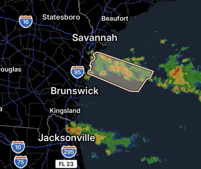
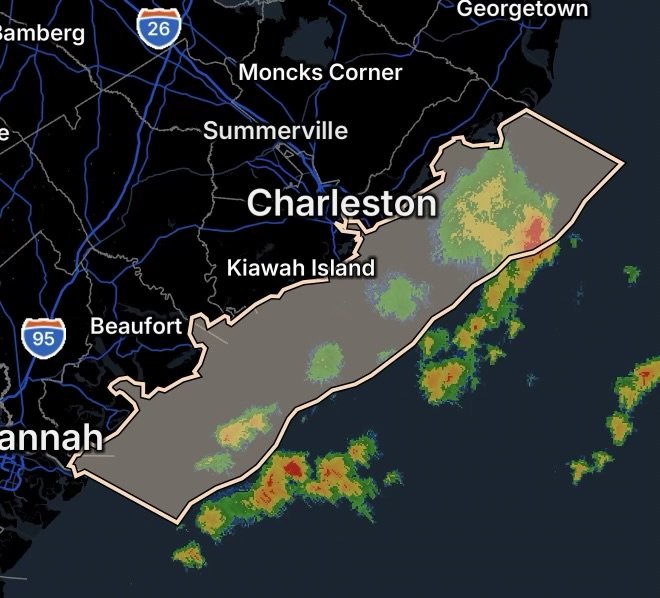
Special Marine Warning issued for coastal waters from South Santee River to Edisto Beach, SC. Dangerous thunderstorms bring strong winds, lightning, and rough seas.
A Special Marine Warning is in effect for Biscayne Bay and coastal waters from Deerfield Beach to Ocean Reef, Florida. Dangerous thunderstorms may produce strong…
Category 3 Hurricane Genevieve is generating dangerous surf and hazardous marine conditions. Learn the potential coastal impacts and how to stay safe.
Tropical Storm Fausto, located 910 miles east of Hilo, continues weakening while producing high surf and hazardous marine conditions across Hawaii on July 26, 2026.
Special Marine Warning issued for waters from Cape Lookout to Surf City, NC as severe thunderstorms may produce dangerous waterspouts and strong winds.
Special Marine Warning issued for Cape Lookout to Surf City, NC coastal waters on July 24, 2026. Dangerous thunderstorms bring strong winds, lightning, and rough…
Hurricane Fausto continues across the eastern Pacific on July 23, 2026. Get the latest forecast, projected track, and marine hazards.
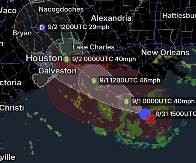
A Special Marine Warning is in effect for the coastal waters from High Island to Freeport and Freeport to Matagorda Ship Channel, Texas, on July…
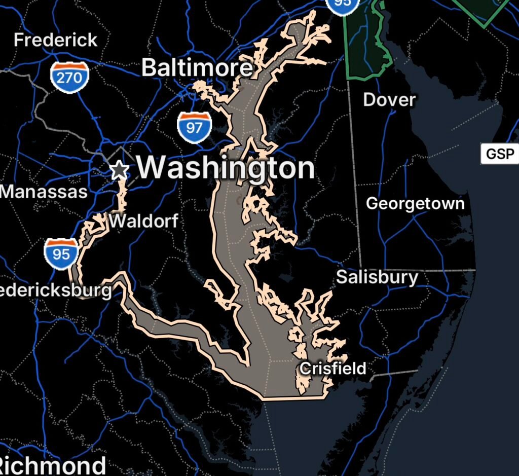
A Special Marine Warning has been issued for portions of the Chesapeake Bay from North Beach, MD, to Smith Point, VA. Get the latest safety…
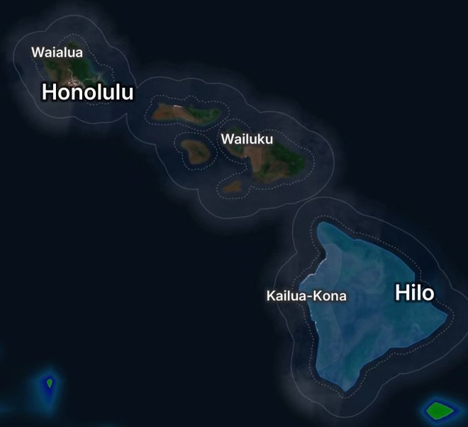
A Small Craft Advisory is impacting Maalaea Bay, Pailolo Channel, Alenuihaha Channel, and Big Island waters. Learn about marine hazards, wind conditions, and safety tips.