Flooding Rains Target Multiple Parts of the Nation
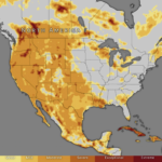
A widespread pattern of heavy rainfall is bringing an elevated flash flood threat to several regions of the United States. Slow-moving thunderstorms, abundant Gulf moisture, and repeated rounds of rainfall are increasing the risk of dangerous flooding from the Plains to the Midwest, Southeast, and parts of the Mid-Atlantic.
Meteorologists warn that some communities could receive several inches of rain in just a few hours, leading to rapid rises on creeks, streams, and urban drainage systems.
Regions Facing the Highest Flood Risk
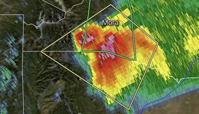
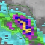
🌧️ Central and Northern Plains
- Nebraska
- Kansas
- South Dakota
- North Dakota
Thunderstorms capable of producing torrential rainfall may repeatedly track over the same locations, creating a heightened flash flood threat.
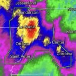
🌧️ Midwest
- Minnesota
- Iowa
- Wisconsin
- Illinois
Areas already saturated from recent rainfall could experience additional flooding concerns as new storm systems develop.
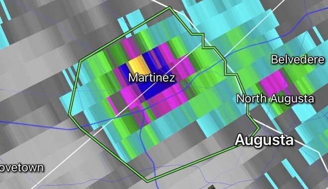
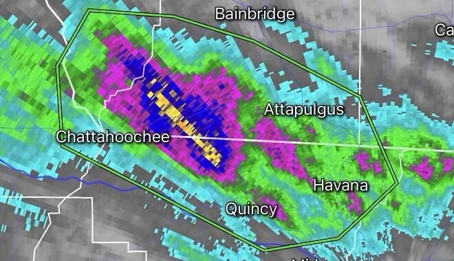
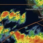
🌧️ Southeast
- Alabama
- Georgia
- Florida Panhandle
- Mississippi
Deep tropical moisture moving northward from the Gulf of Mexico is fueling heavy downpours and localized flooding.
🌧️ Mid-Atlantic
- Virginia
- Maryland
- Pennsylvania
Slow-moving storms may trigger flash flooding, particularly in urban corridors and low-lying locations.
Why Flooding Is Becoming More Likely
Several weather ingredients are combining to create a favorable environment for excessive rainfall:
- High atmospheric moisture levels
- Slow-moving thunderstorms
- Repeated storm development over the same areas
- Saturated ground conditions in some locations
When storms repeatedly move across the same area, a process known as “training,” rainfall totals can quickly become excessive and overwhelm drainage systems.
Main Hazards
🚗 Flooded Roads
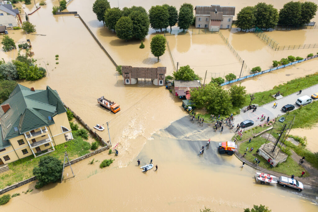
Just a few inches of moving water can sweep away vehicles. Most flood-related fatalities occur in automobiles.
🏠 Urban Flooding
Cities and developed areas are especially vulnerable when drainage systems cannot keep pace with intense rainfall rates.
🌊 Rapid Creek and Stream Rises
Small waterways can rise within minutes during intense thunderstorms.
⚡ Dangerous Travel Conditions
Heavy rain can significantly reduce visibility and create hydroplaning hazards on highways.
Flood Safety Tips
✔ Never drive through flooded roadways.
✔ Move to higher ground if a Flash Flood Warning is issued.
✔ Monitor local weather alerts throughout the day and night.
✔ Have multiple ways to receive emergency notifications.
✔ Remember: Turn Around, Don’t Drown®.
Weather Intelligence Center Analysis
The current weather pattern favors repeated rounds of heavy rainfall across several regions of the country. While not every location will experience flooding, communities under repeated thunderstorm activity could see rapid flash flooding develop with little warning. Residents should closely monitor local forecasts, watches, and warnings as conditions evolve.