Storm Coverage Across Florida: Heavy Rain, Thunderstorms, and Flooding Concerns
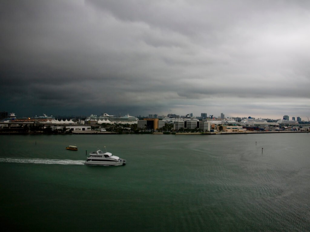
Florida is once again under the influence of an active weather pattern as storms continue to develop across portions of the Sunshine State. Forecasters are monitoring multiple rounds of showers and thunderstorms capable of producing heavy rainfall, dangerous lightning, gusty winds, and localized flooding.
What Is Driving the Storm Activity?
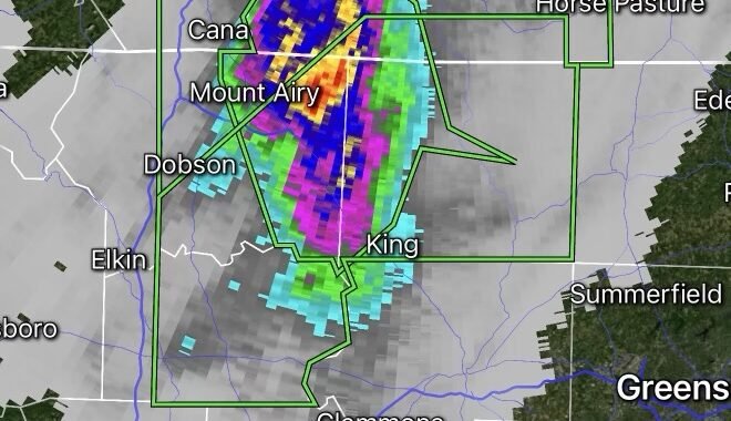
A combination of tropical moisture, daytime heating, and atmospheric instability is fueling widespread thunderstorm development across Florida. Warm temperatures and abundant Gulf and Atlantic moisture are creating favorable conditions for storms to intensify during the afternoon and evening hours.
Residents can expect periods of heavy rain, especially along sea breeze boundaries where storms may repeatedly track over the same locations.
Areas of Concern
Storms may impact much of Florida, including:
- South Florida
- Central Florida
- The Tampa Bay region
- The Space Coast
- Northeast Florida
- Portions of the Florida Panhandle
Localized flooding may develop in urban and low-lying areas where rainfall rates become excessive.
Primary Hazards
Heavy Rainfall
Slow-moving storms could produce torrential downpours, leading to ponding of water on roads and localized flash flooding.
Frequent Lightning
Florida remains one of the lightning capitals of the United States. Thunderstorms may produce dangerous cloud-to-ground lightning strikes capable of causing injuries and power disruptions.
Gusty Winds
Some stronger storms may generate wind gusts capable of downing tree limbs and causing isolated power outages.
Reduced Visibility
Heavy rainfall may significantly reduce visibility for motorists, creating hazardous travel conditions.
Safety Tips
- Monitor local forecasts and weather alerts.
- Avoid driving through flooded roadways.
- Seek shelter immediately when thunder is heard.
- Secure outdoor furniture and loose objects ahead of stronger storms.
- Keep mobile devices charged in case of power outages.
Looking Ahead
Florida’s unsettled weather pattern is expected to continue as abundant moisture remains in place. Additional rounds of thunderstorms are possible over the coming days, and residents should stay weather-aware for changing conditions.
Radar Watch HQ will continue monitoring storm developments and provide updates as conditions evolve across Florida.