


Flood Watch Issued for Southeast Louisiana as Tropical Storm Arthur and Strong Thunderstorms Impact the South
Flooding Threat Increases Across Louisiana and the Gulf Coast
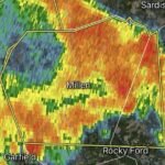
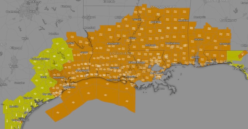
Residents across southeast Louisiana are being urged to remain weather-aware as a Flood Watch remains in effect amid heavy tropical rainfall, thunderstorms, and the impacts from newly formed Tropical Storm Arthur. The storm system, which developed in the Gulf of Mexico on June 17, is expected to bring dangerous rainfall totals, localized flash flooding, gusty winds, and isolated tornado threats across portions of Louisiana and the Deep South. (Axios)
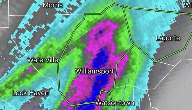
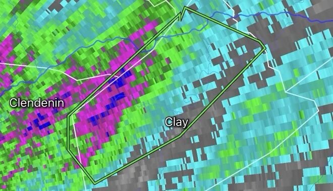
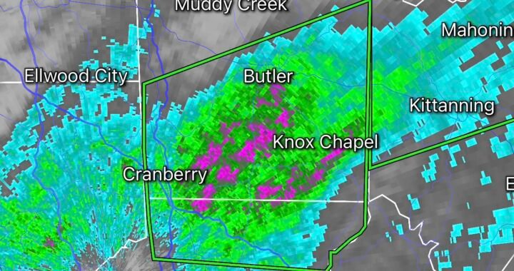
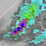
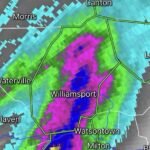
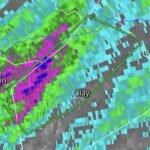
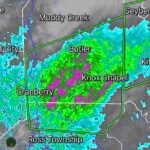
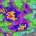
The National Weather Service indicates that southeast Louisiana and southern Mississippi could experience multiple rounds of heavy rainfall capable of producing rainfall rates between 3 and 5 inches per hour. Slow-moving thunderstorms may repeatedly move over the same locations, significantly increasing the risk of flash flooding in urban areas and low-lying communities. (Facebook)
Tropical Storm Arthur Adds to Flood Concerns
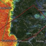
Tropical Storm Arthur became the first named storm of the 2026 Atlantic Hurricane Season on Wednesday. While Arthur is not expected to become a strong tropical cyclone before landfall near the Texas-Louisiana border, its greatest threat remains excessive rainfall and flooding. Forecasters warn that widespread rainfall totals of 5 to 10 inches are possible, with isolated locations receiving significantly higher amounts. (Axios)
Tropical storm watches and warnings have been issued along portions of the upper Gulf Coast as Arthur moves inland. The storm’s moisture plume extends well east of its center, allowing heavy rain and thunderstorms to spread across Louisiana, Mississippi, Alabama, Georgia, and portions of the Florida Panhandle. (Reuters)
Thunderstorms Impacting the Southern United States
Beyond the tropical system itself, a broad area of tropical moisture is fueling widespread thunderstorms across the South. These storms are capable of producing:
- Torrential rainfall
- Frequent lightning
- Wind gusts exceeding 40 mph
- Localized flash flooding
- Isolated tornadoes near the Gulf Coast
Meteorologists continue to monitor the potential for excessive rainfall from eastern Texas through Louisiana, Mississippi, and Alabama as the system tracks northeast. Areas that have already received significant rainfall during recent weeks may be particularly vulnerable to flooding. (AP News)
Areas of Greatest Concern
The highest flooding threat currently includes:
- Southeast Louisiana
- Greater New Orleans Metro
- Baton Rouge Region
- Coastal Louisiana Parishes
- Southern Mississippi
- Portions of Alabama near the Gulf Coast
Flood-prone roadways, drainage canals, bayous, and low-lying neighborhoods could experience rapid water rises if thunderstorms repeatedly impact the same locations. New Orleans remains especially vulnerable due to its low elevation and dependence on drainage infrastructure during intense rainfall events. (NOLA Ready)
Flood Safety Tips
If a Flood Watch or Flood Warning is issued for your area:
- Never drive through flooded roadways.
- Monitor local forecasts and emergency alerts.
- Charge electronic devices in case of power outages.
- Have multiple ways to receive weather warnings.
- Move vehicles from flood-prone areas when possible.
- Avoid walking through floodwaters.
- Prepare emergency supplies in advance.
Remember: Turn Around, Don’t Drown. Most flood-related fatalities occur when motorists attempt to drive through water-covered roads.
Looking Ahead
Heavy rainfall, thunderstorms, and flooding concerns are expected to continue across portions of the Gulf Coast through the end of the week as Tropical Storm Arthur moves inland and weakens. Even after the storm dissipates, lingering tropical moisture may continue producing heavy downpours across parts of Louisiana, Mississippi, and neighboring states. Residents should continue monitoring updates from the National Weather Service and local emergency management officials. (Reuters)