


Tropical Invest EP94 (Invest 94E) — Development Watch in the East Pacific
Overview
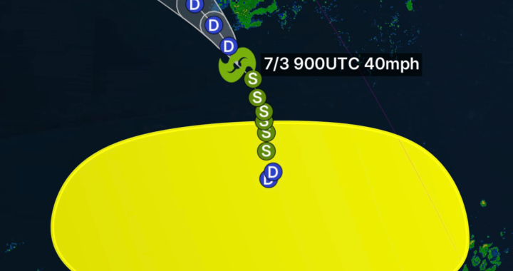
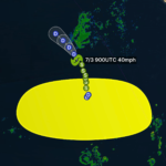
Tropical Invest EP94 (also referred to as Invest 94E) is currently being monitored in the eastern Pacific basin as a developing area of low pressure embedded within a tropical wave. This system is showing signs of intermittent thunderstorm activity, prompting meteorological agencies to track its potential for short-term tropical development.
At this stage, EP94 remains non-organized, meaning it does not yet have a defined center of circulation. However, its structure is slowly improving as atmospheric conditions briefly support convection.
Current Location & Movement
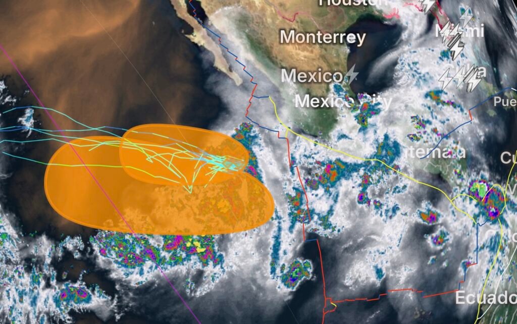
EP94 is located over the open eastern Pacific, well south of the Baja California Peninsula. It is moving generally:
- Direction: West to west-northwest
- Speed: Around 10–15 mph
- Environment: Open ocean with no immediate land interaction
This track keeps the system away from land for the foreseeable future.
Development Potential
Forecast models and tropical outlook guidance suggest EP94 has a low to moderate chance of development over the next 48 hours.
Key factors include:
What is helping development:
- Warm sea surface temperatures
- Periods of weak wind shear
- Active thunderstorm clusters forming near the center
What is limiting development:
- Increasing wind shear expected later in the week
- Dry air surrounding the system
- Lack of a fully defined circulation center
Because of these competing factors, EP94 is expected to struggle to fully organize for long periods.
Model Forecast Trends
Most computer models agree on a similar pattern:
- Short-term convection increase
- Possible partial organization into a tropical depression
- Weakening as environmental conditions deteriorate
This is a common pattern for early-season East Pacific systems, where development windows are brief and often interrupted by shear or dry air intrusion.
Possible Impacts
At this time, EP94 does not pose any immediate threat to land.
However, indirect impacts may include:
- Minor swell generation across open Pacific waters
- Increased cloud cover in distant outer bands (if it strengthens)
- Enhanced marine weather conditions in surrounding ocean areas
No coastal watches or warnings are in effect.
What Meteorologists Are Watching
Forecasters will closely monitor:
- Whether a closed low-level circulation forms
- Persistence of central thunderstorm activity
- Strength and direction of upper-level wind shear
- Organization trend over the next 24–48 hours
If EP94 manages to maintain convection long enough, it could briefly reach tropical depression strength before weakening.
Bottom Line
Tropical Invest EP94 is a short-window development system with limited time to organize before environmental conditions become unfavorable.
Summary:
- Development chance: Low to moderate
- Strength potential: Tropical depression at most
- Land impact: None expected
- Overall outlook: Short-lived and weak system likely