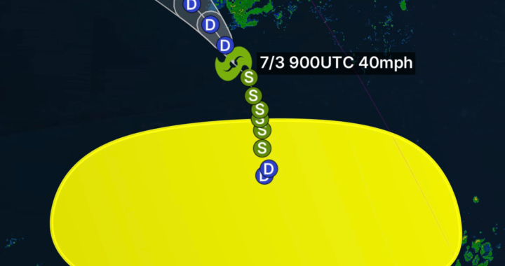


🌦️ North Carolina & Virginia Weather Conditions Update
Weather across North Carolina and Virginia is showing a mix of summer heat, scattered thunderstorms, and periods of high humidity typical for late June conditions across the Southeast.
🌡️ Regional Overview
A warm and moisture-rich air mass remains in place over both states, supporting active afternoon and evening thunderstorm development. While no widespread severe outbreak is expected at this moment, isolated strong storms may still produce:
- Heavy downpours and localized flooding
- Frequent lightning
- Gusty wind bursts
- Brief reductions in visibility during storms
Temperatures are running seasonably warm, with many inland areas reaching the upper 80s to mid-90s, while coastal regions remain slightly moderated due to sea breezes.
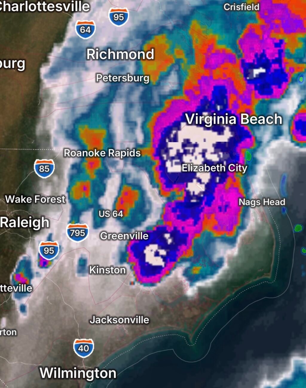
⛈️ North Carolina Weather Conditions
North Carolina is experiencing classic early-summer instability:
- Afternoon thunderstorms developing inland, especially across the Piedmont and mountain regions
- Higher humidity levels increasing heat index values above actual air temperatures
- Coastal areas seeing more scattered, weaker storm activity but persistent cloud cover at times
The mountains of western North Carolina may see more frequent storm coverage due to terrain-driven lift, while eastern areas remain more scattered and hit-or-miss.
🌧️ Virginia Weather Conditions
Virginia is also under a similar warm and humid pattern:
- Pop-up thunderstorms expected during peak heating hours
- Northern and central Virginia seeing the highest chance for brief strong storms
- Southern Virginia remaining slightly drier but still prone to isolated activity
- Coastal Virginia and the Hampton Roads region influenced by sea-breeze boundaries, enhancing storm chances late in the day
Heat stress may become a concern in urban corridors such as Richmond and the D.C. metro region due to elevated humidity levels.
⚠️ Weather Impacts to Watch
Even without a major storm system, both states should monitor:
- Sudden thunderstorm development in the afternoon
- Localized flash flooding in poor drainage areas
- High heat index values causing heat fatigue risk
- Rapid changes in visibility during storms
🔮 Short-Term Outlook
The overall pattern suggests:
- Continued summer-like heat and humidity
- Daily scattered thunderstorm chances
- No strong organized system dominating the region
- Typical late-June “pop-up storm” behavior continuing through the week