


Hazardous Weather Outlook Issued for North and Central Georgia
Published: June 24, 2026
The National Weather Service (NWS) office in Atlanta/Peachtree City has issued a Hazardous Weather Outlook (HWO) covering north and central Georgia. While no widespread hazardous weather is expected immediately, forecasters are monitoring developing conditions that could bring thunderstorms, gusty winds, heavy rainfall, and dangerous lightning to portions of the region in the coming days. (National Weather Service)
Current Outlook
According to the latest Hazardous Weather Outlook, no significant hazardous weather is expected at this time across north and central Georgia. However, atmospheric conditions will become more favorable for scattered thunderstorms as moisture increases across the Southeast. (National Weather Service)
The National Weather Service indicates that daily thunderstorm chances are expected to return and continue through much of the upcoming week. While widespread severe weather is not anticipated, some storms may become locally strong and produce:
- Frequent cloud-to-ground lightning
- Brief heavy downpours
- Gusty winds
- Reduced visibility during intense rainfall
- Localized ponding of water on roadways (National Weather Service)
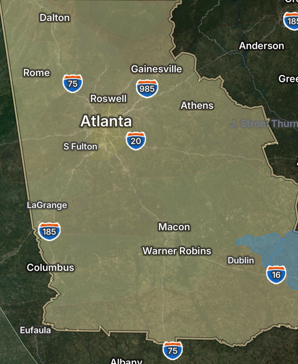
Areas Included in the Outlook
The Hazardous Weather Outlook covers a large portion of north and central Georgia, including the Atlanta metropolitan area and surrounding counties. Communities from the mountains of north Georgia through central sections of the state should remain alert for changing weather conditions throughout the week. (National Weather Service)
Thunderstorm Activity Expected to Increase
Meteorologists expect isolated to scattered thunderstorms to develop during the afternoon and evening hours on multiple days. Summer-like conditions combined with abundant moisture will create an environment favorable for storm development. Although severe weather is not expected to be widespread, stronger storms could still produce hazardous conditions for outdoor activities. (National Weather Service)
Lightning remains one of the most significant dangers associated with summertime thunderstorms. Residents are encouraged to move indoors immediately when thunder is heard and avoid open areas during storms. (National Weather Service)
Safety Tips for Georgia Residents
As thunderstorm activity increases across the state, residents should:
- Monitor local forecasts and weather alerts.
- Have multiple ways to receive emergency warnings.
- Avoid outdoor activities when thunderstorms approach.
- Never drive through flooded roadways.
- Secure outdoor furniture and loose objects that could be blown by gusty winds.
- Stay indoors until at least 30 minutes after the last clap of thunder.
Looking Ahead
The overall severe weather threat remains low, but Georgia’s typical summer pattern of afternoon and evening thunderstorms will continue through much of the week. Forecasters will closely monitor any storms that develop for signs of stronger winds, heavy rainfall, or localized flooding concerns. Residents should stay weather-aware and check for updated forecasts from the National Weather Service as conditions evolve. (National Weather Service)