Flood Threat Increasing as Heavy Rain Develops
A surge of tropical moisture and slow-moving storm systems is expected to bring periods of heavy rainfall to portions of the United States, increasing the risk of flash flooding. Areas that experience repeated rounds of thunderstorms could see rainfall rates exceeding 1 to 2 inches per hour, overwhelming drainage systems and causing rapid rises on creeks, streams, and roadways.
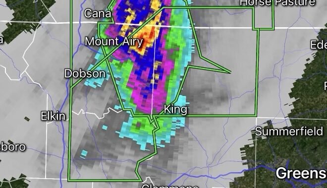
Meteorologists are especially concerned about locations where storms repeatedly move over the same area, a phenomenon known as training thunderstorms. When this occurs, several inches of rain can fall in a short period of time, significantly increasing the flash flood threat.
What Is Flash Flooding?
Flash flooding occurs when water rises rapidly, often within minutes or hours of heavy rainfall. Unlike river flooding, flash floods can develop with little warning and become extremely dangerous.
Common impacts include:
- Flooded roads and highways
- Water rescues
- Mudslides in hilly terrain
- Damage to homes and businesses
- Rapid rises on creeks and streams
Why Heavy Rain Becomes Dangerous
Several factors can increase flood risk:
Saturated Ground
When soil is already wet from previous rainfall, additional rain runs off quickly instead of soaking into the ground.
Urban Areas
Cities are particularly vulnerable because pavement and concrete prevent water absorption, causing runoff to accumulate rapidly.
Training Thunderstorms
Thunderstorms moving repeatedly over the same location can dump excessive rainfall totals in a short period.
Tropical Moisture
Moisture from tropical systems can dramatically increase rainfall efficiency, producing intense downpours.
Safety Tips During Flash Flooding
- Never drive through flooded roadways.
- Turn around if water covers the road.
- Monitor local weather alerts.
- Move to higher ground if flooding develops.
- Keep emergency supplies ready during periods of heavy rain.
The National Weather Service’s slogan remains one of the most important flood safety messages:
“Turn Around, Don’t Drown.”
Looking Ahead
Forecast models suggest additional rounds of heavy rain may continue over vulnerable regions through the coming days. Residents in flood-prone locations should stay alert for:
- Flash Flood Watches
- Flash Flood Warnings
- Flood Advisories
- Severe Thunderstorm Warnings capable of producing excessive rainfall
Even areas not currently experiencing flooding should remain weather aware, as flash flood situations can develop rapidly when intense rainfall rates occur.