
Stormy Pattern Returning to the South: Severe Weather Threat Increases
After a brief period of quieter conditions, a more active weather pattern is expected to return across portions of the Southern United States. Meteorologists are monitoring a series of disturbances that could bring rounds of thunderstorms, heavy rainfall, damaging winds, and localized flooding to parts of the region over the coming days.
What’s Driving the Change?
A combination of increasing Gulf moisture, daytime heating, and an active jet stream pattern will create favorable conditions for thunderstorm development across the South. As warm, humid air flows northward, storms will have ample fuel to strengthen during the afternoon and evening hours.
Areas from Texas and Oklahoma eastward through Arkansas, Louisiana, Mississippi, Alabama, Georgia, and the Florida Panhandle could experience periods of unsettled weather.
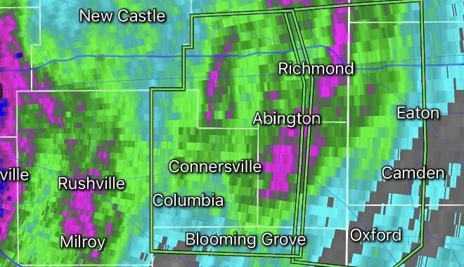
Main Threats
Heavy Rainfall
Repeated rounds of thunderstorms may lead to localized flooding, especially in low-lying and poor-drainage areas. Urban locations could see rapid ponding of water on roadways during intense downpours.
Damaging Wind Gusts
Strong thunderstorms may produce wind gusts capable of downing tree limbs, damaging power lines, and causing scattered power outages.
Frequent Lightning
Lightning remains one of the most dangerous weather hazards. Any thunderstorm can produce deadly cloud-to-ground lightning strikes, even if severe weather warnings are not issued.
Isolated Severe Storms
Some storms could become severe, bringing large hail and isolated tornadoes, particularly where atmospheric instability and wind shear are strongest.