June 10, 2026
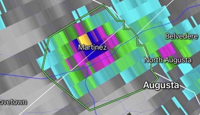
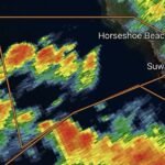
Residents across portions of Illinois are being urged to stay weather-aware after a Severe Thunderstorm Watch was issued as a powerful weather system moves across the Midwest. Meteorologists warn that conditions are favorable for the development of severe thunderstorms capable of producing damaging winds, large hail, torrential rainfall, and isolated tornadoes. (CBS News)
The watch comes amid a broader severe weather outbreak affecting much of the Upper Midwest and Great Lakes region. Forecasters indicate that warm, humid air combined with an approaching cold front is creating an environment highly supportive of severe storm development throughout Illinois. (The Weather Channel)
Primary Threats
The strongest storms may produce:
- Damaging wind gusts exceeding 70 mph
- Large hail capable of damaging vehicles and property
- Frequent lightning
- Localized flash flooding
- A few isolated tornadoes
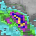
The National Weather Service has highlighted damaging straight-line winds as the primary concern, though tornadoes cannot be ruled out in the strongest rotating storms. (National Weather Service)
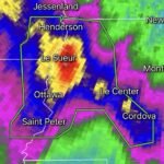
Chicago Area Faces Elevated Risk
The Chicago metropolitan area remains under close observation as multiple rounds of thunderstorms move through northern Illinois. Several counties have already experienced severe thunderstorm warnings, power outages, downed trees, and travel disruptions as storms sweep eastward across the region. (ABC7 Chicago)
More than 250,000 customers in Illinois experienced power outages as severe weather impacted the state, with additional storms expected through the overnight hours. Airports including Chicago O’Hare and Midway also reported significant delays due to the severe weather. (AP News)
Flash Flooding Concerns
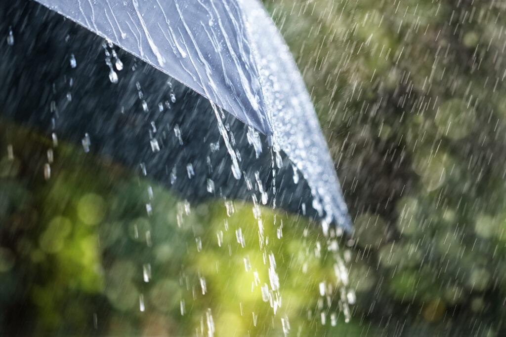
Heavy rainfall rates may lead to rapid water accumulation in low-lying areas, urban streets, and locations with poor drainage. Forecasters are monitoring the potential for flash flooding, especially where multiple rounds of storms track over the same locations. (The Telegraph)
Drivers are reminded never to attempt crossing flooded roadways. Just a small amount of moving water can sweep away a vehicle.
Safety Tips During a Severe Thunderstorm Watch
A watch means conditions are favorable for severe weather development. Residents should:
- Monitor trusted weather sources frequently.
- Enable Wireless Emergency Alerts on mobile devices.
- Identify a safe shelter location ahead of time.
- Secure outdoor furniture and loose objects.
- Avoid unnecessary travel during severe storms.
- Move indoors immediately if thunder is heard.
If a Severe Thunderstorm Warning or Tornado Warning is issued for your location, seek shelter immediately. (Wikipedia)
Looking Ahead
The active weather pattern is expected to continue into Thursday, with another round of severe thunderstorms possible across portions of Illinois. Forecasters warn that damaging winds, large hail, and isolated tornadoes may remain a concern as the storm system slowly progresses eastward. (National Weather Service)
Residents are encouraged to stay informed and have multiple ways to receive weather warnings as conditions can change rapidly.