
Tropical Moisture Playing a Major Role in Severe Weather Development
As a tropical depression continues to move across the region, meteorologists are closely monitoring its influence on weather patterns far beyond its center. While tropical depressions often receive less attention than hurricanes, they can still have significant impacts on rainfall, flooding, severe thunderstorms, and tornado potential.
What Is a Tropical Depression?
A tropical depression is the earliest organized stage of a tropical cyclone. These systems contain a closed circulation of thunderstorms and sustained winds below 39 mph. Although they lack the strength of a tropical storm or hurricane, tropical depressions can transport enormous amounts of tropical moisture into the atmosphere.
That moisture becomes fuel for additional weather hazards.
How Tropical Moisture Enhances Severe Weather
One of the most important ingredients for thunderstorms is moisture. Tropical systems act like giant atmospheric pumps, transporting warm, humid air hundreds of miles inland.
When this moisture interacts with cold fronts, upper-level disturbances, or strong wind shear, it can create an environment favorable for:
- Heavy rainfall
- Flash flooding
- Severe thunderstorms
- Damaging wind gusts
- Frequent lightning
- Isolated tornadoes
The added moisture increases atmospheric instability, allowing storms to develop more rapidly and produce heavier rainfall rates than would otherwise be possible.
Flooding Becomes a Major Concern
Even when a tropical depression weakens, the moisture it leaves behind can continue producing dangerous weather conditions.
Slow-moving thunderstorms may repeatedly develop over the same locations, a process known as “training.” This can quickly overwhelm drainage systems and lead to flash flooding.
Drivers are reminded never to attempt crossing flooded roadways. Just a few inches of moving water can sweep away a vehicle.
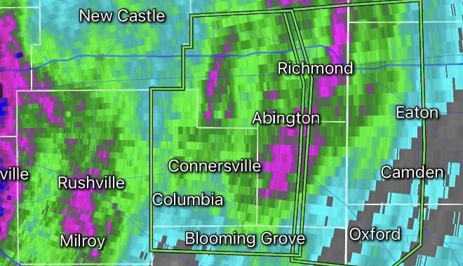
Increased Tornado Risk
Tropical systems often create favorable conditions for brief tornadoes, especially within outer rain bands.
Unlike traditional Great Plains tornadoes, tropical tornadoes can form quickly with little warning and may be embedded within heavy rainfall, making them difficult to see.
Residents should remain alert for Tornado Warnings even if they are hundreds of miles away from the center of the tropical depression.
Looking Ahead
Forecast models suggest that tropical moisture associated with this depression will continue interacting with weather systems across portions of the country over the coming days. This could lead to additional rounds of heavy rain, flooding concerns, and severe thunderstorms.
The Radar Watch HQ team will continue monitoring the latest developments and provide updates as conditions evolve.
Safety Reminders
✅ Stay weather aware and monitor forecasts regularly.
✅ Have multiple ways to receive warnings.
✅ Never drive through flooded roadways.
✅ Seek shelter immediately if a Tornado Warning is issued.
✅ Keep mobile devices charged in case of power outages.
As tropical systems continue to influence weather patterns, staying informed remains the best defense against rapidly changing conditions.