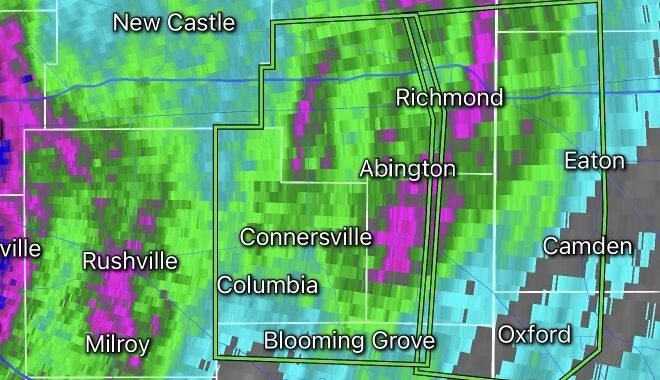

Heat to Spark Thunderstorms Across the Northeast as Summer-Like Conditions Build
A surge of heat and humidity is setting the stage for scattered thunderstorms across the Northeast this week as warmer air pushes northward ahead of an approaching cold front. Forecasters say the combination of rising temperatures, increasing moisture, and atmospheric instability will create favorable conditions for thunderstorms from the Mid-Atlantic into New England.
Why Storms Are Developing
As temperatures climb into the upper 80s and lower 90s across parts of the Northeast, humid air from the south is increasing instability in the atmosphere. When daytime heating combines with this moisture-rich environment, it can trigger thunderstorms capable of producing heavy rain, gusty winds, and frequent lightning.
Meteorologists are monitoring several disturbances moving through the region, which could act as triggers for storm development during the afternoon and evening hours. The greatest storm coverage is expected where the hottest temperatures overlap with the highest humidity levels.
Areas Most at Risk
Cities and regions that could see thunderstorms include:
- New York City
- Philadelphia
- Boston
- Hartford
- Portions of Pennsylvania, New Jersey, New York, Connecticut, Massachusetts, and surrounding states.
Potential Hazards
While not every community will experience severe weather, stronger storms may produce:
- Damaging wind gusts of 50–70 mph
- Frequent cloud-to-ground lightning
- Torrential rainfall leading to localized flooding
- Small to large hail in isolated storms
- An isolated tornado cannot be ruled out in the strongest cells
Flash flooding may become a concern in urban areas where heavy rainfall falls in a short period of time. Areas with poor drainage and low-lying roads are especially vulnerable.
Heat and Humidity Fueling the Threat
The same weather pattern producing the storms is also bringing some of the hottest temperatures of the year to the East Coast. Heat index values could approach or exceed 100°F in some locations as dew points climb into the 60s and 70s. The increased humidity acts as fuel for thunderstorm development and can make outdoor conditions dangerous even before storms arrive.
Safety Tips
If thunderstorms are forecast in your area:
- Monitor weather alerts throughout the day.
- Move indoors immediately if thunder is heard.
- Avoid open fields, lakes, and elevated locations during lightning.
- Secure outdoor furniture and loose objects that could be blown around by strong winds.
- Never drive through flooded roadways.
Looking Ahead
The Northeast is expected to remain in a warm and humid pattern through the end of the week, with additional rounds of thunderstorms possible before a cold front brings slightly cooler conditions to parts of the region. Forecasters warn that some storms could become severe, especially during the late afternoon and evening hours when daytime heating is at its peak.
Radar Watch HQ Weather Team: Stay weather-aware as heat and humidity combine to create an active thunderstorm pattern across the Northeast. Conditions can change rapidly, and severe weather warnings may be issued with little notice.