Midweek Severe Storm Risk Looms Across Parts of the Central and Eastern U.S.
A New Round of Dangerous Weather Could Develop This Week
As we move deeper into the week, meteorologists are closely monitoring a developing weather pattern that could bring severe thunderstorms to portions of the central and eastern United States. Increasing heat, humidity, and a series of atmospheric disturbances are expected to create favorable conditions for strong to severe storms capable of producing damaging winds, large hail, frequent lightning, and isolated tornadoes.
While forecast details will continue to evolve over the coming days, residents across potentially affected regions should remain weather-aware and prepared for rapidly changing conditions.
What’s Driving the Severe Weather Threat?
A strengthening ridge of high pressure across parts of the South and East will continue to pump warm, moisture-rich air northward from the Gulf of Mexico. At the same time, an approaching cold front and upper-level disturbances moving through the jet stream will provide the lift necessary for thunderstorm development.
When these ingredients combine—warm temperatures, abundant moisture, atmospheric instability, and wind shear—the risk for organized severe thunderstorms increases significantly.
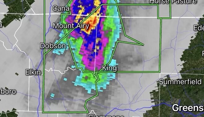
Areas Most Likely to See Storm Development
Current forecast trends suggest the greatest risk may extend from portions of the Plains and Midwest into parts of the Ohio Valley and Great Lakes region.
Cities that could experience severe weather include:
- Kansas City, Missouri
- Omaha, Nebraska
- Des Moines, Iowa
- St. Louis, Missouri
- Chicago, Illinois
- Indianapolis, Indiana
- Louisville, Kentucky
- Cincinnati, Ohio
- Milwaukee, Wisconsin
Additional areas farther east may also face storm threats depending on how the weather pattern evolves.
Potential Hazards
The primary threats associated with these storms include:
Damaging Wind Gusts
Strong thunderstorm winds exceeding 60 mph could down trees, damage power lines, and cause scattered power outages.
Large Hail
Some storms may become intense enough to produce hail capable of damaging vehicles, roofs, and crops.
Frequent Lightning
Lightning remains one of the deadliest weather hazards and can strike miles away from the storm core.
Isolated Tornadoes
While the tornado threat appears conditional at this time, a few rotating thunderstorms could develop where wind shear is strongest.
Heavy Rainfall and Localized Flooding
Slow-moving or repeatedly developing storms may produce torrential rainfall, leading to flash flooding in urban and low-lying areas.
How to Prepare Now
Before severe weather arrives:
- Review your severe weather safety plan.
- Ensure multiple methods are available to receive warnings.
- Charge mobile devices and backup power sources.
- Secure outdoor furniture and loose objects.
- Identify a safe shelter location in your home.
- Avoid traveling during active severe weather warnings.
Looking Ahead
Forecast confidence is increasing that a notable severe weather event could unfold during the middle of the week. However, the exact placement and intensity of the storms will depend on how atmospheric conditions evolve over the next several days.
Radar Watch HQ will continue monitoring the situation and provide updates as new forecast data becomes available.
Stay weather aware, monitor local forecasts, and be prepared to act quickly if watches or warnings are issued for your area.