


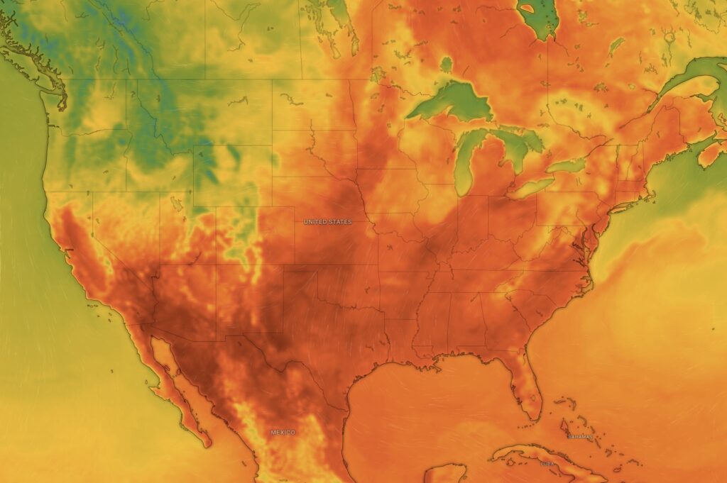
Sea surface temperatures (SSTs) are one of the most important drivers of global weather. When ocean waters become warmer or cooler than normal, they can dramatically alter storm development, rainfall patterns, drought conditions, and temperature extremes across the world.
Why Ocean Temperatures Matter
The oceans store more than 90% of Earth’s excess heat. Warm water acts like fuel for the atmosphere by:
- Increasing evaporation
- Adding moisture to the air
- Providing energy for thunderstorms and tropical systems
- Influencing jet stream patterns
- Affecting rainfall and drought regions
Even a temperature difference of 1–2°F (0.5–1°C) above average can significantly affect weather patterns.
Impact on the 2026 Hurricane Season
Warm waters across portions of the eastern Pacific and Atlantic Basin can provide additional energy for tropical cyclones.
Effects Include:
- Faster tropical storm development
- Greater potential for rapid intensification
- Increased rainfall rates
- Higher storm surge risk
- Longer-lasting tropical systems
This is particularly important as storms like Tropical Storm Cristina move over warm waters, which can help sustain thunderstorms around the center and increase heavy rainfall potential.
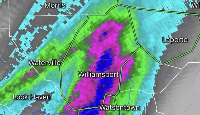
Connection to Heavy Rain and Flash Flooding
Warmer oceans mean more water vapor in the atmosphere.
Meteorologists often describe this relationship with the phrase:
“Warmer air can hold more moisture.”
As sea temperatures rise:
- Tropical moisture streams inland
- Thunderstorms become more efficient rain producers
- Training thunderstorms become more likely
- Flash flooding risks increase
This has been a major concern recently across parts of:
- Southern Mexico
- Central America
- The Gulf Coast
- Portions of the Southern United States
Effects on Drought and Heat Waves
Ocean temperatures can also influence where persistent high-pressure systems develop.
These high-pressure systems can:
- Suppress rainfall
- Increase sunshine
- Produce prolonged heat waves
- Worsen drought conditions
This is one reason portions of Central California and the Southwest have experienced recurring heat concerns.
Influence of El Niño and La Niña
Two major ocean temperature patterns help shape weather worldwide:
El Niño
- Warmer-than-average waters in the central and eastern Pacific
- Often increases rainfall in the southern U.S.
- Can reduce Atlantic hurricane activity
- Brings wetter conditions to some regions
La Niña
- Cooler-than-average Pacific waters
- Often increases Atlantic hurricane activity
- Can create hotter and drier conditions in parts of the southern U.S.
- Frequently shifts storm tracks northward
These patterns affect weather thousands of miles away through atmospheric connections known as teleconnections.
What Weather Forecasters Are Watching
Meteorologists continuously monitor:
- Sea Surface Temperatures (SSTs)
- Ocean Heat Content (OHC)
- Tropical moisture plumes
- Wind shear patterns
- El Niño/La Niña signals
These indicators help forecast:
- Hurricane development
- Severe weather outbreaks
- Flooding threats
- Seasonal temperature trends
Bottom Line
The unusually warm ocean waters observed across many regions in recent years continue to influence weather in 2026 by:
✅ Increasing tropical moisture
✅ Enhancing heavy rainfall and flash flooding risks
✅ Providing fuel for tropical storms and hurricanes
✅ Influencing heat waves and drought patterns
✅ Affecting long-range seasonal forecasts