
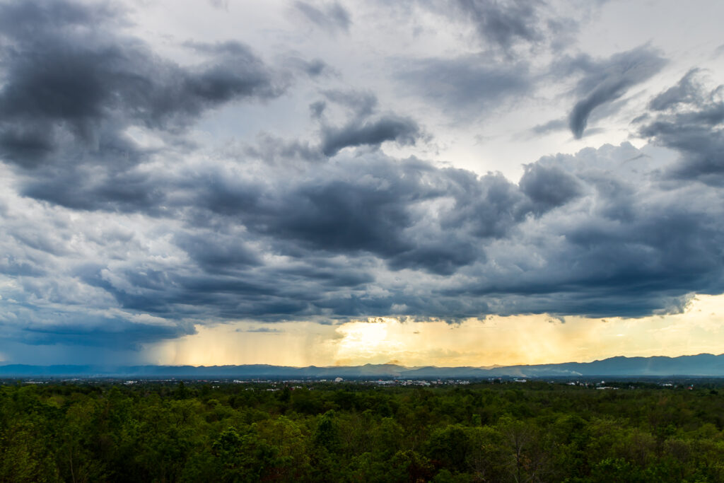
A volatile summer pattern is unfolding across the Northeastern United States as a strengthening heat wave collides with an approaching cold front, setting the stage for multiple days of unsettled and potentially severe weather.
The result is a classic but dangerous atmospheric setup: extreme heat building instability, and an incoming front acting as the trigger for thunderstorms.
Heat Building Across the Northeast
A strong ridge of high pressure has been pumping hot, humid air into the Northeast and Mid-Atlantic. Afternoon temperatures are climbing into the upper 80s and 90s, with humidity pushing heat index values even higher.
In many urban areas, including New York City, Philadelphia, and Boston, the combination of heat and moisture is making conditions feel closer to the upper 90s at times. Overnight lows are also staying warm, limiting relief and allowing heat stress to build day after day.
This prolonged warmth is not just uncomfortable—it’s meteorologically important. The more heat and moisture that builds, the more energy is available for thunderstorms once a trigger arrives.
Cold Front Sparks Storm Development
At the same time, a cold front dropping in from the Midwest is beginning to interact with this unstable air mass. As it moves eastward, it forces warm air upward rapidly, leading to thunderstorm development along and ahead of the boundary.
This type of setup often leads to scattered but strong storms rather than one single widespread system, meaning different areas may be impacted at different times over several days.
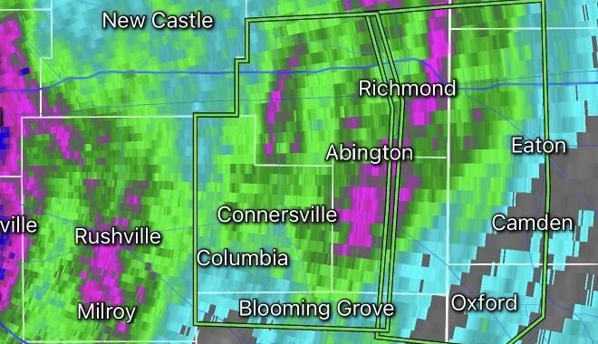
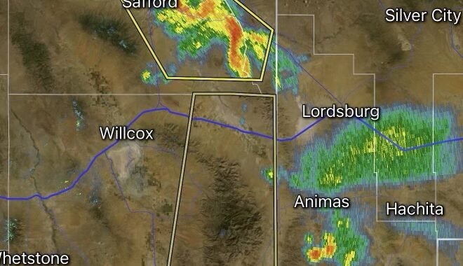
Severe Weather Risks Through the Week
Forecasters are closely watching the following hazards:
Damaging Winds
The most widespread threat. Stronger storm cells may produce gusts capable of downing tree limbs and causing isolated power outages.
Large Hail
Where storms become more intense, hail may develop due to strong updrafts within tall storm structures.
Flash Flooding
With high humidity and slow-moving storms, heavy downpours could quickly overwhelm drainage systems, especially in urban corridors.
Isolated Tornado Risk
While not the primary threat, any organized storm line interacting with strong wind shear could briefly rotate.
Timing: When the Threat Peaks
Storm chances are expected to increase during the late afternoon and evening hours, when daytime heating is at its maximum.
The highest-risk period appears to be late in the week, when:
- Heat peaks across the region
- The cold front becomes more organized
- Atmospheric instability reaches its highest levels
This overlap creates the most favorable conditions for stronger storm development.
Why This Pattern Matters
This is not a typical scattered summer thunderstorm pattern. Instead, it is a multi-day collision between extreme heat and a dynamic frontal boundary, meaning:
- Heat builds energy day after day
- Storms release that energy in bursts
- Impacts vary widely by location and timing
Some areas may experience only heat, while others could see repeated rounds of thunderstorms.
Bottom Line
The Northeast is entering a high-contrast weather period: oppressive heat during the day followed by the potential for strong thunderstorms as a cold front pushes in.
Residents should stay alert for rapidly changing conditions, especially during late afternoon and evening hours when storms are most likely to develop.