
Severe Storms Slam Milwaukee Metro Area
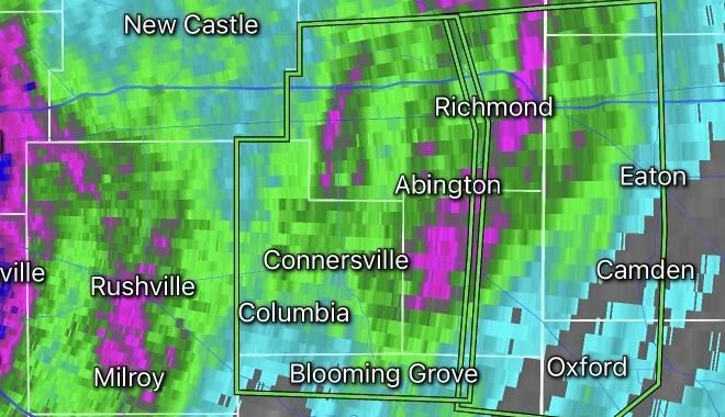
Residents across the Milwaukee metropolitan area faced a dangerous round of severe thunderstorms as powerful storms swept through southeastern Wisconsin, bringing damaging winds, torrential rainfall, frequent lightning, and the threat of large hail. The storms were part of a broader severe weather outbreak impacting millions across the Midwest.
Widespread Severe Weather Threat
Meteorologists warned that atmospheric conditions were highly favorable for intense thunderstorm development, with strong instability, abundant moisture, and powerful wind shear combining to create an environment capable of producing severe storms. Milwaukee was included within an elevated severe weather risk area as storms rapidly intensified across Wisconsin and neighboring states.
Forecasters highlighted several primary hazards:
- Damaging straight-line winds exceeding 60 mph
- Large hail capable of causing property damage
- Frequent cloud-to-ground lightning
- Localized flash flooding from heavy rainfall
- Isolated tornado potential in stronger storm cells
Strong Winds Cause Damage
As storms moved through the Milwaukee metro area, powerful wind gusts knocked down tree limbs, caused scattered power outages, and created hazardous travel conditions on major roadways. Emergency management officials monitored reports of debris, downed power lines, and localized flooding in low-lying areas.
The storms were fueled by the same weather pattern responsible for significant severe weather across portions of Wisconsin, Illinois, Iowa, and Minnesota over the past several days.
Heavy Rain Raises Flood Concerns
In addition to strong winds, some locations experienced intense rainfall rates that overwhelmed storm drains and led to ponding on roads. Forecasters warned that repeated rounds of thunderstorms could increase the risk of flash flooding, especially in urban areas where runoff accumulates quickly.
Motorists were urged to avoid flooded roadways and use caution during periods of reduced visibility caused by heavy rain.
More Storms Possible
The active weather pattern across the Midwest is expected to continue, with additional rounds of thunderstorms possible as a strong jet stream and unstable air mass remain in place. Weather experts caution that some future storms could once again produce damaging winds, hail, and isolated tornadoes.
Safety Reminders
During severe thunderstorms, residents should:
- Move indoors immediately when thunder is heard.
- Stay away from windows during high winds.
- Charge mobile devices in case of power outages.
- Monitor weather alerts from local authorities.
- Never drive through flooded roadways.
Outlook
While conditions may temporarily improve between storm systems, southeastern Wisconsin remains vulnerable to additional severe weather episodes in the coming days. Milwaukee-area residents should remain weather-aware and be prepared to act quickly if watches or warnings are issued.
Radar Watch HQ will continue monitoring severe weather developments across Wisconsin and the Midwest as this active storm pattern evolves.