Storms Push Across Texas, Louisiana, and Alabama: Heavy Rain, Flooding, and Severe Weather Threats Continue
As a powerful weather pattern unfolds across the southern United States, residents from Texas to Louisiana and Alabama are facing rounds of thunderstorms, torrential rainfall, and an increasing risk of flash flooding. A surge of tropical moisture from the Gulf of Mexico combined with a slow-moving frontal boundary is creating favorable conditions for widespread storm development across the region. (Eye on the Tropics)
Texas: Flood Concerns Growing
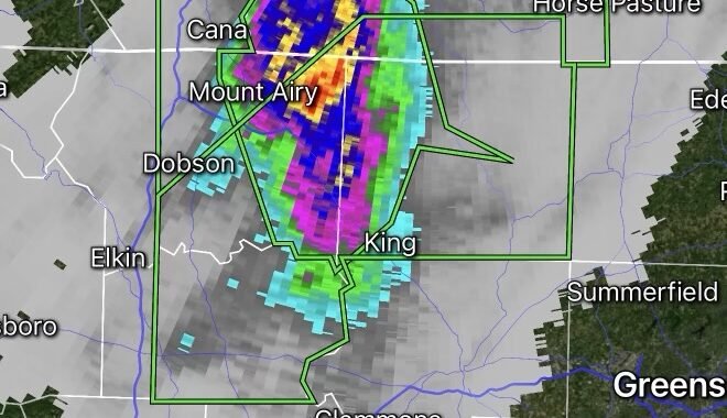
Texas remains at the center of the storm activity as repeated thunderstorms move across portions of Central, Southeast, and Coastal Texas. Forecasters are closely monitoring areas where storms repeatedly track over the same locations, increasing the risk of flash flooding.
Some locations have already received several inches of rainfall, with additional heavy downpours expected through the middle of the week. Flood watches remain in effect across parts of Southeast Texas, including the Houston metro area, where saturated ground conditions could worsen flooding concerns. (Houston Chronicle)
Louisiana: Storms Expanding Eastward
As the storm system progresses eastward, Louisiana is expected to experience periods of heavy rain, frequent lightning, and localized flooding. Deep tropical moisture streaming northward from the Gulf will continue feeding thunderstorms capable of producing intense rainfall rates.
Forecasters warn that low-lying areas, urban locations, and poor drainage zones could experience rapid water accumulation. Residents should remain alert for flood advisories and changing weather conditions. (The Eyewall)
Alabama: Increasing Storm Risk
The weather threat extends into Alabama as the storm complex moves farther east. Thunderstorms are expected to become more widespread, bringing heavy rainfall, gusty winds, and the potential for localized flooding.
While severe weather is not expected to be widespread, stronger storms could still produce damaging wind gusts and dangerous lightning. Areas across southern and central Alabama should monitor forecasts closely as tropical moisture spreads across the Gulf Coast region. (The Eyewall)
Storm Movement and Forecast
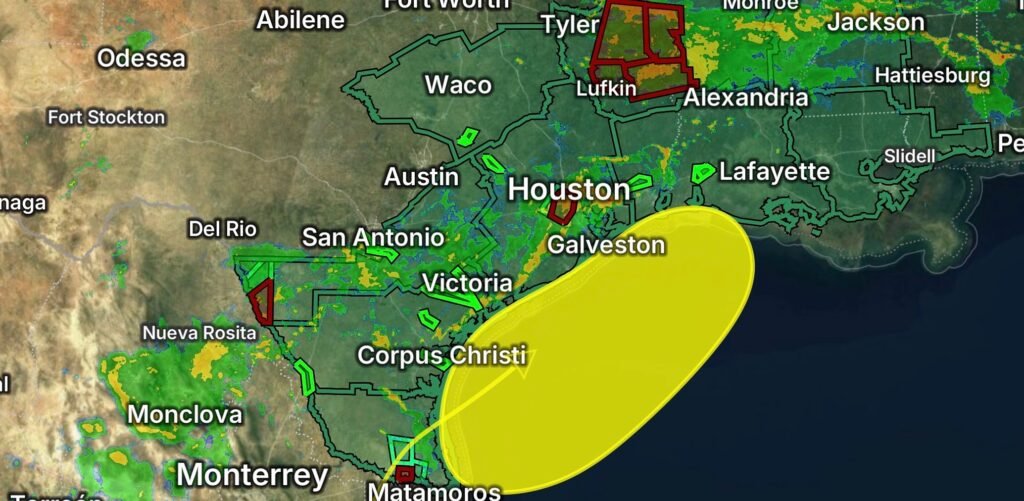
Meteorologists expect the primary storm corridor to stretch from South Texas through Louisiana and into Mississippi and Alabama over the next several days. The combination of abundant Gulf moisture and a stalled frontal boundary will keep rainfall chances elevated throughout the region.
Forecast models indicate the heaviest rainfall may follow a path from the Texas Gulf Coast toward southwestern Louisiana before continuing eastward into Mississippi and Alabama. Flash flooding remains the primary concern, especially in areas that receive repeated rounds of storms. (The Eyewall)
Safety Tips During Heavy Storms
- Never drive through flooded roadways.
- Monitor local weather alerts and emergency notifications.
- Keep multiple ways to receive weather warnings.
- Stay indoors during thunderstorms and avoid open areas.
- Charge electronic devices ahead of severe weather.
- Have an emergency kit ready in case of power outages.
Looking Ahead
The active weather pattern is expected to continue across portions of the Gulf Coast through the week. While the system is not currently expected to develop into a significant tropical cyclone, the abundant tropical moisture will continue to fuel heavy rain and flooding concerns from Texas to Alabama. Residents across the region should remain weather-aware and prepared for rapidly changing conditions. (Eye on the Tropics)
Radar Watch HQ will continue monitoring this developing weather situation and provide updates as new information becomes available.