


Tropical Storm Arthur Update: Current Status, Forecast Track, and What Communities Need to Know
Tropical Storm Arthur Becomes the First Named Storm of the 2026 Atlantic Hurricane Season
Tropical Storm Arthur officially became the first named storm of the 2026 Atlantic hurricane season on June 17, bringing heavy rainfall, flooding concerns, gusty winds, and coastal impacts to portions of the Gulf Coast. While Arthur is not expected to become a major wind event, meteorologists continue to warn that flooding could become life-threatening in some areas. (Reuters)
As of the latest reports, Arthur developed near the Texas coastline with maximum sustained winds around 40 to 45 mph before beginning a gradual weakening trend as it moved inland. Forecasters indicate that the storm’s strongest impacts will come from excessive rainfall rather than hurricane-force winds. (Reuters)
Arthur’s Current Trajectory
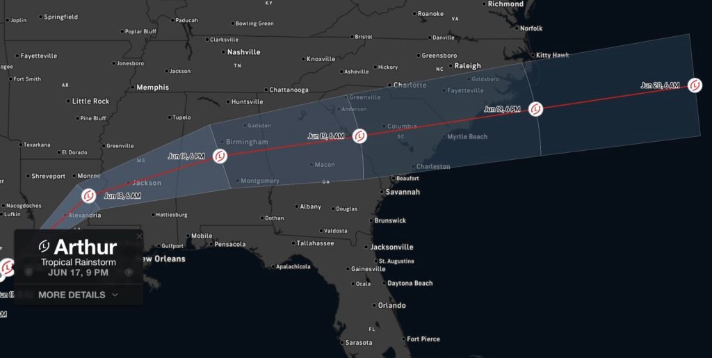
Arthur formed near the middle Texas coast and tracked northeastward toward southeastern Texas and western Louisiana. The system is forecast to continue moving inland across Louisiana before its remnants push through portions of Mississippi, Alabama, Georgia, and the Florida Panhandle through the end of the week. (Houston Chronicle)
Expected Path:
- Texas Gulf Coast
- Western and Central Louisiana
- Mississippi
- Alabama
- Georgia
- Florida Panhandle
Forecasters expect Arthur to continue weakening as it moves inland, eventually degenerating into a remnant low-pressure system. Despite weakening winds, the storm’s moisture plume will continue producing widespread rainfall and flash flooding concerns. (AP News)
Primary Threat: Dangerous Flooding
The National Hurricane Center continues to emphasize that flooding remains the greatest threat associated with Arthur. Rainfall totals of 5 to 10 inches are expected across parts of the Gulf Coast and Deep South, with isolated locations potentially receiving up to 20 inches. These rainfall amounts could trigger:
- Flash flooding
- Urban flooding
- River flooding
- Road closures
- Water rescues
- Dangerous travel conditions
Flood watches and warnings may continue to be issued as rain bands move inland across multiple states. (Reuters)
Additional Hazards
Beyond flooding, Arthur may also produce:
- Tropical-storm-force wind gusts
- Isolated tornadoes
- Coastal flooding
- Rip currents along Gulf Coast beaches
- Minor storm surge in vulnerable coastal communities
Residents across affected areas should remain alert for rapidly changing weather conditions and monitor local National Weather Service forecasts. (Chron)
What Happens Next?
Forecast guidance indicates Arthur will continue weakening as it moves farther inland. While the tropical cyclone itself is expected to dissipate, its remnants will continue spreading heavy rain across the Southeast through Friday. Flooding concerns may persist even after the storm loses tropical characteristics. (AP News)
Meteorologists stress that residents should not focus solely on wind speed. Tropical systems frequently cause their most significant impacts through flooding rainfall, especially when storms move slowly or repeatedly track over the same locations. (https://www.wafb.com)
Safety Tips
- Never drive through flooded roadways.
- Have multiple ways to receive weather alerts.
- Monitor local flood warnings and evacuation guidance.
- Avoid beaches experiencing dangerous surf and rip currents.
- Prepare for possible power outages and travel disruptions.
Final Outlook
Tropical Storm Arthur may be weakening, but its impacts are far from over. Communities from Texas to the Southeast should continue monitoring forecasts closely as heavy rain and flooding remain the primary concerns. Arthur serves as an early reminder that even relatively weak tropical storms can create significant hazards through excessive rainfall and flash flooding.
Radar Watch HQ will continue providing updates on Arthur’s remnants, flooding threats, and any new tropical developments across the Atlantic basin.