
Flash Flood Warning Issued for Burlington, Camden, and Gloucester Counties, New Jersey
Radar Watch HQ | Flash Flood Alert | July 2026
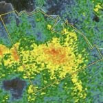
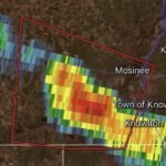
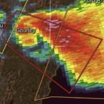
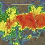
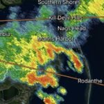
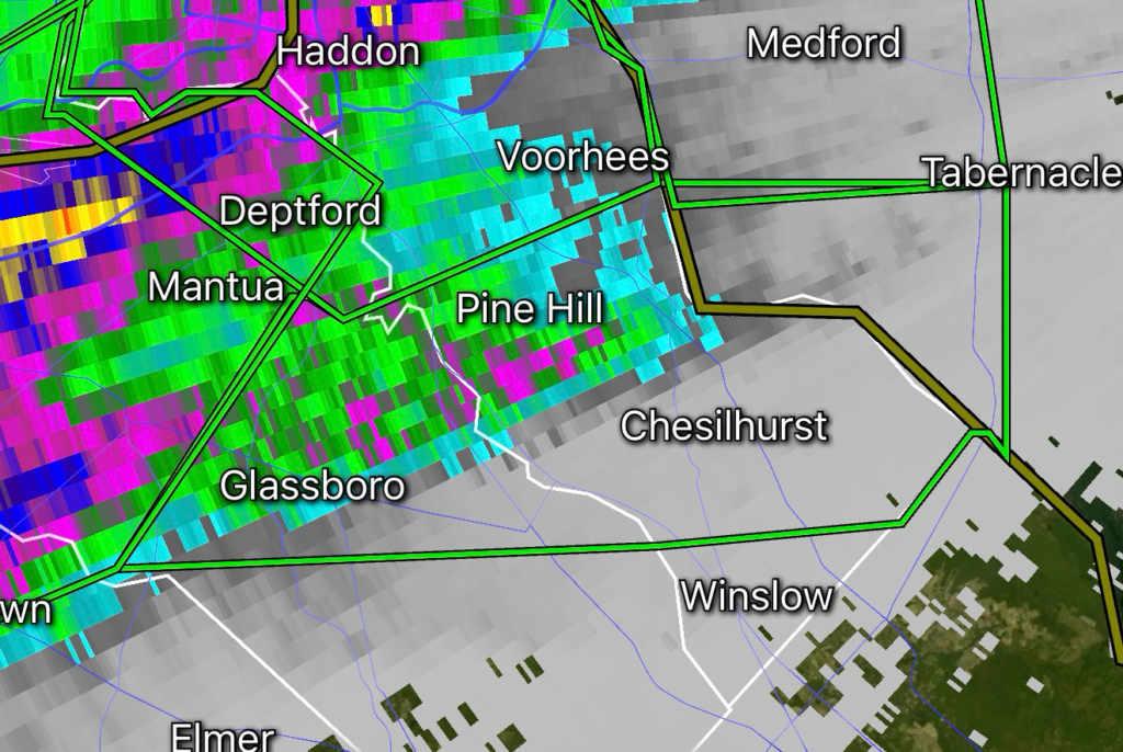
Residents across Burlington, Camden, and Gloucester Counties in southern New Jersey are under a Flash Flood Warning as thunderstorms continue producing torrential rainfall capable of creating dangerous flooding in a short amount of time. The warning is based on radar and automated rain gauge data, with rainfall rates reaching 1 to 2 inches per hour, creating a high risk for rapidly rising water on roads, small streams, and low-lying areas.
Current Threat
Heavy thunderstorms have already produced significant rainfall across portions of southern New Jersey, and additional downpours are expected through the evening. Saturated ground combined with intense rainfall means even normally dry areas can flood quickly.
Flash Flood Details
- Counties: Burlington, Camden, and Gloucester, New Jersey
- Source: Doppler Radar and Automated Rain Gauges
- Rainfall Rate: 1–2 inches per hour
- Primary Threat: Rapid flash flooding of roads, neighborhoods, creeks, and urban areas
- Hazard: Flooding may develop with little warning, especially during heavy thunderstorms.
Areas Most at Risk
Flash flooding is most likely in:
- Urban streets and intersections
- Underpasses
- Small creeks and streams
- Poor drainage neighborhoods
- Parking lots
- Interstate highways and major roadways
- Low-water crossings
Drivers should expect water-covered roads that may appear passable but can conceal dangerous washouts or swift-moving water.
Safety Tips During a Flash Flood Warning
If you are in the warned area:
- Never drive through flooded roadways.
- Turn Around, Don’t Drown.
- Move vehicles away from flood-prone locations.
- Avoid walking through moving water.
- Monitor weather alerts for additional warnings.
- Be prepared to move to higher ground if flooding develops near your location.
- Keep your phone charged in case power outages occur.
Just six inches of moving water can knock an adult off their feet, while as little as twelve inches of moving water can carry away a vehicle.
Why This Warning Matters
Rainfall rates of 1 to 2 inches in a single hour can overwhelm storm drains, especially in heavily populated communities like Camden and surrounding suburbs. When rain falls faster than drainage systems can handle, streets can become rivers within minutes. Forecasts across the Mid-Atlantic continue to highlight the potential for repeated thunderstorms capable of producing dangerous flash flooding.
Continue Monitoring Conditions
Residents should closely monitor forecasts and official weather alerts throughout the day. Additional thunderstorms may lead to expanded flood warnings if heavy rainfall persists.
Radar Watch HQ will continue monitoring this developing weather situation and provide updates as new information becomes available.
Affiliate Disclosure: As an Amazon Associate, Radar Watch HQ earns from qualifying purchases.
Radar Watch HQ Top 5 Essential Emergency Preparedness Picks
Whether you’re preparing for severe thunderstorms, flash flooding, hurricanes, wildfires, or extended power outages, these five emergency essentials can help keep your household safer when severe weather strikes.
A portable power station provides reliable backup electricity during outages, allowing you to power phones, medical devices, laptops, lights, small appliances, and communication equipment without fuel.
Best for:
- Extended power outages
- Severe thunderstorms
- Hurricanes
- Winter storms
- Wildfires
2. Flood Protection Barriers & Sandless Flood Bags
Flood barriers help divert or absorb water before it enters garages, doorways, and low-lying areas. They deploy quickly and can help reduce property damage during flash flooding.
Best for:
- Flash Flood Warnings
- Heavy rainfall
- River flooding
- Coastal flooding
3. Rechargeable LED Flashlights
Bright, dependable flashlights are essential when the power goes out. Rechargeable or solar-powered models provide long-lasting illumination for navigating safely indoors and outdoors.
Best for:
- Overnight power outages
- Emergency evacuations
- Storm damage inspections
Keep phones, tablets, weather radios, and USB-powered devices charged when the electrical grid is unavailable. A solar power bank offers an additional charging option during prolonged emergencies.
Best for:
- Communication during outages
- Emergency weather alerts
- Travel and evacuation
A NOAA Weather Radio delivers official weather alerts directly from the National Weather Service, even when cellular networks or internet service are unavailable. It remains one of the most dependable ways to receive life-saving warnings.
Best for:
- Tornado warnings
- Severe thunderstorm warnings
- Flash flood warnings
- Hurricane alerts
- Winter storm emergencies
Why Radar Watch HQ Recommends These Essentials
At Radar Watch HQ, preparedness is just as important as staying informed. These five emergency essentials can help you stay connected, protect your property, and safely navigate severe weather events. Having supplies ready before storms arrive allows you to respond quickly when warnings are issued and conditions begin to deteriorate.