
Subtropical Storm Josephine Moves Across the Atlantic
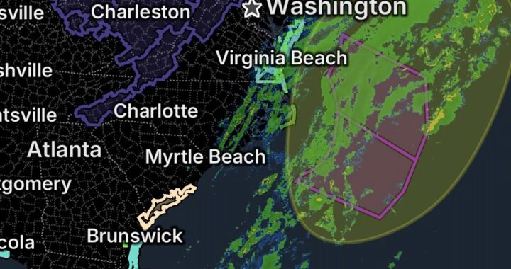
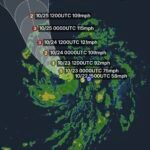
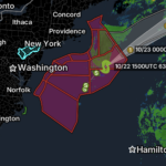
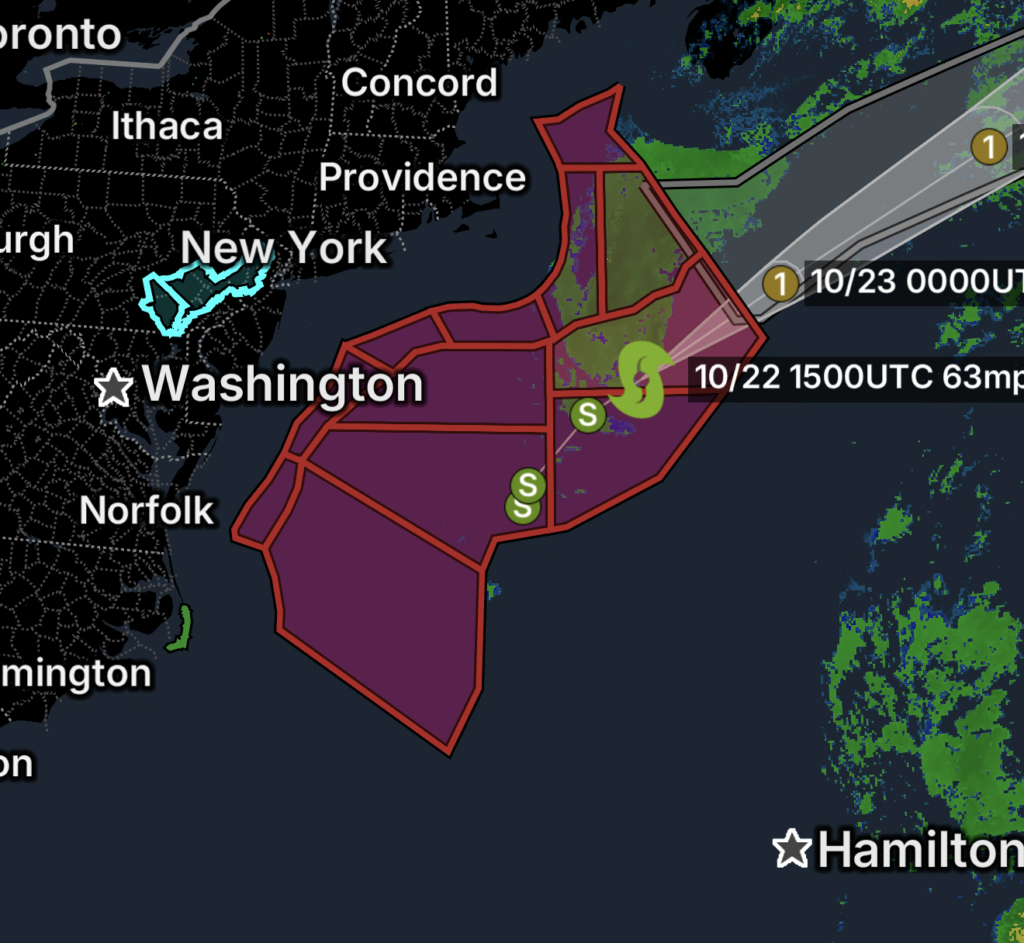
Subtropical Storm Josephine is moving northeastward over the northwestern Atlantic, well offshore of the northeastern United States. In its 11 a.m. Atlantic Standard Time advisory on October 22, the National Hurricane Center placed Josephine about 200 miles southeast of Nantucket, Massachusetts, with maximum sustained winds near 65 mph. The system is expected to transition into a powerful extratropical cyclone, potentially producing hurricane-force winds over the ocean.
Even as Josephine moves away from the U.S. coast, its expansive wind field and ocean swells can create dangerous conditions for mariners. The marine warnings supplied for this report include a Tropical Storm Warning, Hurricane Force Wind Warning, and Storm Warning for offshore waters east of 69°W to the Hague Line, between 1,000 fathoms and 39°N.
Marine Safety: Stay Out of Dangerous Waters
- Avoid unnecessary boating and offshore travel while hazardous marine warnings are active.
- Check the latest official marine forecast for your exact ocean zone.
- Secure vessels and equipment according to local harbor and marina guidance.
- Expect rough seas, powerful waves, and potentially dangerous wind conditions.
- Follow Coast Guard instructions and do not assume conditions are safe simply because Josephine is moving farther offshore.
Freeze Watch for New Jersey and Pennsylvania
A Freeze Watch covers portions of New Jersey and Pennsylvania, where temperatures may fall to levels capable of damaging sensitive vegetation.
New Jersey areas listed:
- Morris County
- Somerset County
- Hunterdon County
Pennsylvania areas listed:
- Berks County
- Lehigh County
- Upper Bucks County
- Western Chester County
- Western Montgomery County
- Lancaster County
- Lebanon County
A Freeze Watch means freezing conditions are possible. Residents should monitor updated forecasts in case the watch is upgraded or changed.
How to Prepare for Freezing Temperatures
- Cover sensitive outdoor plants with appropriate frost protection.
- Move vulnerable potted plants into a sheltered area.
- Protect exposed plumbing where freezing conditions are possible.
- Bring pets indoors or provide warm, dry shelter.
- Check on people who may need assistance preparing for cold weather.
Coastal Flood Watch for Hatteras Island, North Carolina
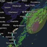
A Coastal Flood Watch has been issued for Hatteras Island. Coastal flooding may develop if water levels rise enough to affect low-lying shorelines, roads, and vulnerable coastal properties.
Residents and visitors should watch for updated local forecasts and be especially cautious near beaches, inlets, and waterfront roads. Coastal conditions can change with tides, winds, and wave action.
Coastal Flood Safety
- Keep away from flooded waterfront roads and low-lying areas.
- Never drive through standing or moving floodwater.
- Follow any road closures or evacuation instructions.
- Move important belongings away from areas vulnerable to coastal flooding.
- Monitor local National Weather Service updates for changes to the watch.
Essentials: What Residents Should Do
- Monitor official alerts: Check the National Hurricane Center and National Weather Service for updates.
- Prioritize marine safety: Avoid exposed waters during active marine warnings.
- Prepare for a possible freeze: Protect plants, pets, and vulnerable plumbing.
- Stay alert along the coast: Watch for updates to the Hatteras Island Coastal Flood Watch.
- Recheck conditions before traveling: Warnings and forecasts may change as Josephine evolves into an extratropical cyclone.
Bottom Line
October 22, 2026, brings several distinct weather concerns. Subtropical Storm Josephine is moving northeastward across the Atlantic while hazardous marine conditions continue offshore. Freeze Watches call for preparation in parts of New Jersey and Pennsylvania, and Hatteras Island faces a potential coastal flooding threat.
Stay informed, follow local warnings, and put safety first around the ocean and during freezing conditions.