


Radar Watch HQ Weather Alert | Louisiana & Texas Severe Weather Update
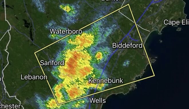
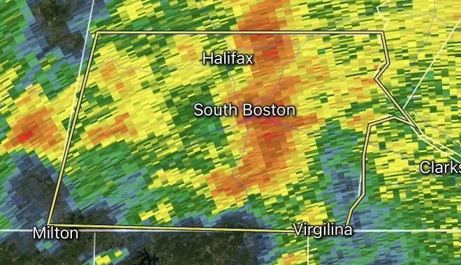
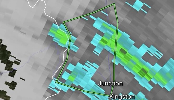
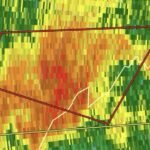
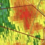
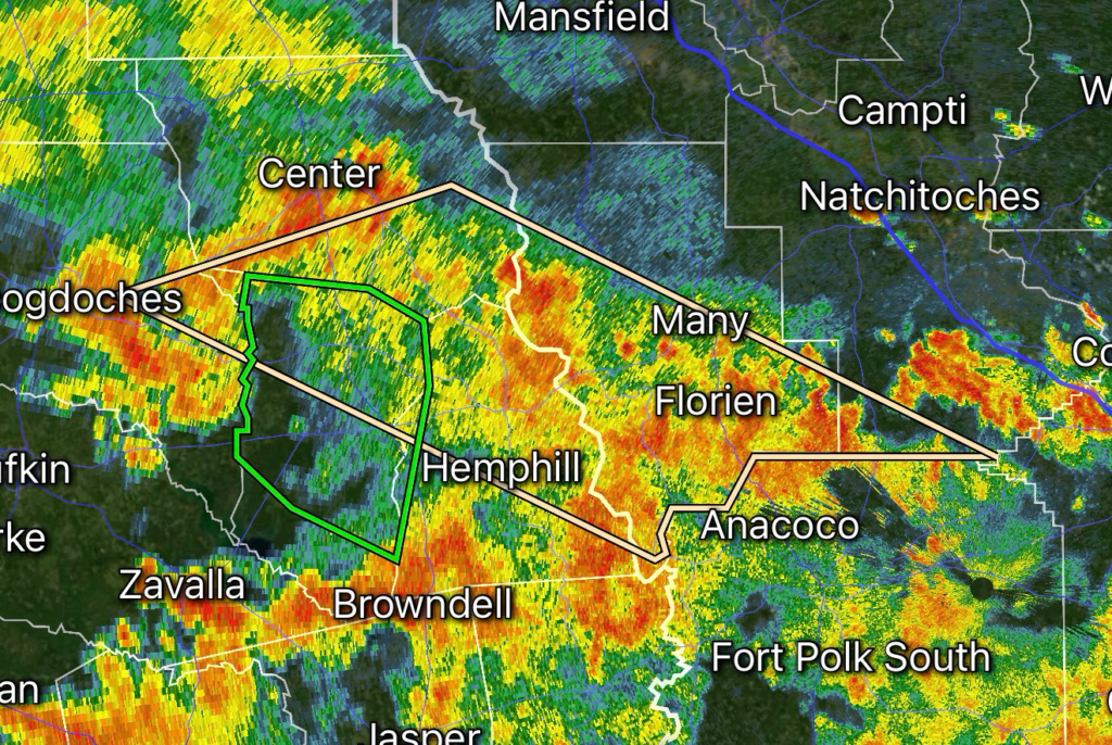
A Special Weather Statement has been issued for portions of Louisiana and East Texas as a line of strong thunderstorms moves through the region. Areas impacted include Nacogdoches County, Texas; Natchitoches Parish, Louisiana; Sabine Parish, Louisiana; Sabine County, Texas; San Augustine County, Texas; and Shelby County, Texas.
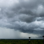
The storms are producing small hail up to 0.25 inches and wind gusts around 30 MPH, with conditions capable of creating brief periods of hazardous weather. A line of strong thunderstorms is moving across the region, bringing the potential for gusty winds, lightning, and localized impacts.
Storm Hazards
🌩️ Strong Thunderstorms: A developing line of storms may continue to produce pockets of heavy rain and frequent lightning.
🌬️ Gusty Winds: Wind gusts near 30 MPH could cause minor impacts, including loose outdoor objects being blown around.
🧊 Small Hail: Hail around one-quarter inch in diameter is possible, especially beneath stronger storm cells.
⚡ Lightning Threat: Dangerous cloud-to-ground lightning can occur even with storms that remain below severe warning criteria.
Areas Watching the Storms
Residents across the following locations should continue monitoring radar updates:
- Nacogdoches, Texas
- San Augustine, Texas
- Shelby County, Texas
- Sabine County, Texas
- Natchitoches, Louisiana
- Sabine Parish, Louisiana
Summer Storm Pattern Continues Across Deep East Texas and Louisiana
During the summer months, warm Gulf moisture combined with daytime heating can fuel fast-developing thunderstorms across East Texas and Louisiana. Strong storms can quickly intensify, producing brief wind gusts, hail, heavy rainfall, and dangerous lightning.
Recent storm activity across this region has included similar strong thunderstorm lines capable of producing gusty winds and small hail.
Safety Tips During Strong Thunderstorms
- Seek shelter indoors when lightning is nearby.
- Avoid open fields, lakes, and exposed areas.
- Secure lightweight outdoor items that could be moved by wind.
- Never drive through flooded roadways.
- Continue monitoring updates from the National Weather Service and local emergency officials.
Radar Watch HQ will continue tracking this storm line across Louisiana and Texas with the latest radar trends, warnings, and severe weather updates.
Affiliate Disclosure: As an Amazon Associate, Radar Watch HQ earns from qualifying purchases.
Radar Watch HQ Top 5 Essential Emergency Preparedness Picks
Whether you’re preparing for severe thunderstorms, flash flooding, hurricanes, wildfires, or extended power outages, these five emergency essentials can help keep your household safer when severe weather strikes.
A portable power station provides reliable backup electricity during outages, allowing you to power phones, medical devices, laptops, lights, small appliances, and communication equipment without fuel.
Best for:
- Extended power outages
- Severe thunderstorms
- Hurricanes
- Winter storms
- Wildfires
2. Flood Protection Barriers & Sandless Flood Bags
Flood barriers help divert or absorb water before it enters garages, doorways, and low-lying areas. They deploy quickly and can help reduce property damage during flash flooding.
Best for:
- Flash Flood Warnings
- Heavy rainfall
- River flooding
- Coastal flooding
3. Rechargeable LED Flashlights
Bright, dependable flashlights are essential when the power goes out. Rechargeable or solar-powered models provide long-lasting illumination for navigating safely indoors and outdoors.
Best for:
- Overnight power outages
- Emergency evacuations
- Storm damage inspections
Keep phones, tablets, weather radios, and USB-powered devices charged when the electrical grid is unavailable. A solar power bank offers an additional charging option during prolonged emergencies.
Best for:
- Communication during outages
- Emergency weather alerts
- Travel and evacuation
A NOAA Weather Radio delivers official weather alerts directly from the National Weather Service, even when cellular networks or internet service are unavailable. It remains one of the most dependable ways to receive life-saving warnings.
Best for:
- Tornado warnings
- Severe thunderstorm warnings
- Flash flood warnings
- Hurricane alerts
- Winter storm emergencies
Why Radar Watch HQ Recommends These Essentials
At Radar Watch HQ, preparedness is just as important as staying informed. These five emergency essentials can help you stay connected, protect your property, and safely navigate severe weather events. Having supplies ready before storms arrive allows you to respond quickly when warnings are issued and conditions begin to deteriorate.