



Tropical Storm Marie Forms in the Eastern Pacific
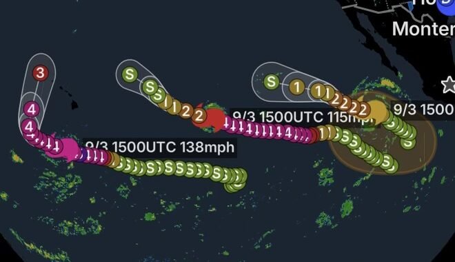
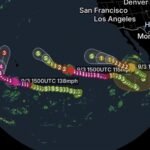
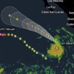
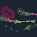
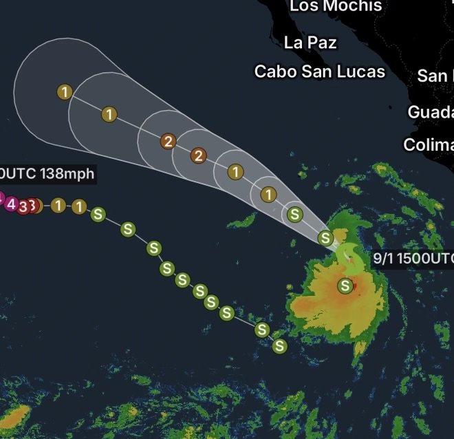
Tropical Storm Marie is strengthening over the eastern Pacific Ocean well southwest of Mexico. As of the National Hurricane Center’s 8:00 a.m. MST advisory Tuesday, September 1, Marie was about 400 miles southwest of Manzanillo, Mexico, with maximum sustained winds of 45 mph and a minimum central pressure of 1002 mb.
Marie was moving northwest at approximately 9 mph, while forecasters expected a turn toward the west-northwest later in the week. Gradual strengthening was forecast, with Marie expected to potentially reach hurricane strength by Wednesday night.
At this time, no coastal watches or warnings are in effect.
Marie Remains Well Offshore
The center of Tropical Storm Marie remains far enough offshore that the National Hurricane Center currently lists no direct land hazards. However, the storm’s circulation and strengthening could still influence marine conditions along portions of the Mexican coastline.
Tropical-storm-force winds currently extend outward as far as approximately 205 miles from the center, demonstrating that Marie’s wind field is already substantial despite remaining offshore.
Southwest Mexico Watching the Storm
Communities along the Pacific coast of Mexico should continue monitoring official forecasts. Even when a tropical cyclone remains offshore, large swells can arrive well ahead of the center.
Mexico’s western states, including Nayarit, Jalisco, Colima and Michoacán, could experience increased rainfall potential associated with Marie’s broader circulation.
Dangerous Surf and Rip Currents Possible
One of the more immediate concerns is not necessarily landfall, but ocean conditions.
The National Hurricane Center says swells generated by Marie are expected to affect portions of southwest Mexico and the Baja California Peninsula during the next several days. Those swells could eventually spread northward toward Southern California over the weekend.
Large swells can produce dangerous breaking waves and powerful rip currents, even when skies are relatively calm along the coast.
Beach Safety Matters
Beachgoers should:
- Check local surf and beach hazard forecasts before entering the water.
- Avoid swimming near piers, jetties and rocky shorelines during elevated surf.
- Never underestimate a strong rip current.
- Follow posted beach closures and lifeguard instructions.
- Consider postponing swimming or surfing when dangerous surf conditions develop.
What Happens Next?
Marie is moving through an environment that could support additional strengthening. The National Hurricane Center expects gradual intensification and has indicated that the system could become a hurricane by Wednesday night.
The forecast track will remain important because even a storm that stays offshore can generate significant coastal impacts through swells, dangerous surf and rip currents.
Meanwhile, residents and visitors along the Pacific coast should rely on updated forecasts rather than focusing solely on the storm’s distance from land.
Radar Watch HQ Final Thoughts
Tropical Storm Marie is another system adding to an increasingly active eastern Pacific hurricane season. Although Marie is currently well offshore and no coastal watches or warnings are in effect, its strengthening trend deserves attention.
The biggest near-term concern for coastal areas is likely to be building surf and dangerous rip currents, followed by the possibility of additional impacts if Marie’s forecast changes.
Radar Watch HQ will continue monitoring Marie as the storm moves across the eastern Pacific.
Stay weather aware, check official forecasts frequently, and never underestimate dangerous ocean conditions associated with tropical systems.