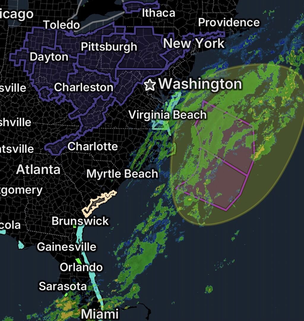
Developing Low-Pressure System Threatens the East Coast
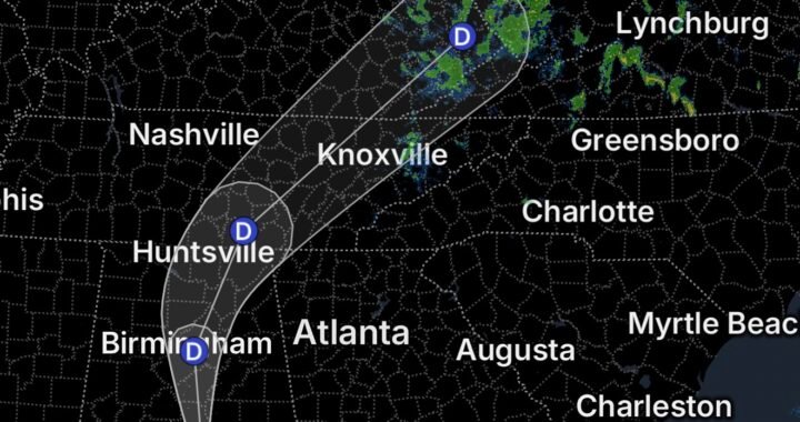
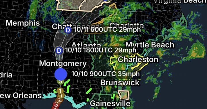
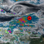
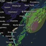
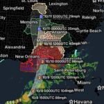
The National Hurricane Center reports that a strong non-tropical low-pressure system is expected to form off the East Coast of the United States during the next day or two. The system may move slowly and erratically through the middle of next week, with some potential for subtropical development.
As of the October 17 outlook, the chance of subtropical or tropical development is low—near 0% through 48 hours and 20% through seven days. However, the potential for hazardous weather does not depend on whether the system becomes subtropical. High winds, coastal flooding, and dangerous surf are expected along portions of the East Coast. https://www.nhc.noaa.gov/text/refresh/MIATWOAT+shtml/172316_MIATWOAT.shtml
Residents, boaters, and coastal communities should monitor updates from the National Weather Service, the Weather Prediction Center, and official marine forecasts.
Coastal Flood Watches and Marine Hazards
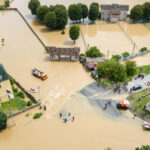
Coastal Flood Watches affect Chesapeake, Suffolk, Norfolk, and Portsmouth in Virginia, as well as Maryland Beaches and portions of Virginia’s Eastern Shore, including Accomack and Northampton Counties.
Low-lying areas near shorelines and tidal waterways may be vulnerable to flooding, particularly around high tide. Flooding could affect roads, waterfront property, and shoreline infrastructure. The National Weather Service has also highlighted high-surf concerns for Maryland Beaches and the Virginia Eastern Shore. https://forecast.weather.gov/product.php?issuedby=AKQ&product=HWO&site=NWS
A Storm Warning has also been reported in the supplied marine alerts. Mariners should check the exact marine zone and current National Weather Service warning before heading offshore.
Coastal and Marine Safety
- Stay away from jetties, piers, and exposed shorelines during dangerous surf.
- Never turn your back on incoming waves.
- Avoid driving through coastal floodwater or around road barricades.
- Secure boats and marine equipment according to local guidance.
- Check marine forecasts before boating, fishing, or traveling offshore.
- Follow evacuation instructions if local officials issue them.
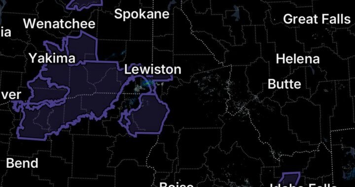
Freeze Warnings Across the Midwest and Appalachians
Freeze Warnings affect broad areas across the Midwest, Ohio Valley, and Appalachian region.
The listed areas include portions of central, east-central, and west-central Indiana; northern Indiana; northwest Ohio; east-central and southeast Indiana; northeastern and northern Kentucky; central, south-central, southwest, and west-central Ohio; much of central Pennsylvania; portions of northwest North Carolina; southwest and west-central Virginia; and southeast West Virginia.
Freezing temperatures can damage sensitive plants and crops, threaten exposed plumbing, and create dangerous cold conditions for people and animals.
Freeze Protection Checklist
- Cover sensitive plants and bring vulnerable potted plants indoors.
- Protect exposed pipes and outdoor plumbing.
- Bring pets inside or provide warm, dry shelter.
- Check on older adults and people who may need help staying warm.
- Monitor local forecasts for updated temperatures and warning details.
Special Weather Statements for Coastal Georgia and South Carolina
Special Weather Statements have been issued for the listed areas of coastal and inland Georgia and South Carolina, including Beaufort and coastal Colleton Counties in South Carolina; coastal and inland Chatham County in Georgia; Tidal Berkeley and Charleston Counties in South Carolina; and coastal Jasper County in South Carolina.
Residents should review the latest local statement to determine the specific hazard, expected timing, and recommended precautions. Conditions can vary by community, so avoid assuming that every location faces the same impacts.
Rip Current Statements for Georgia and Northeast Florida Beaches
Rip Current Statements affect beaches in southeast Georgia and northeast Florida.
Rip currents are powerful channels of water that move away from shore and can quickly pull swimmers away from the beach. Even experienced swimmers can struggle against these currents, especially when surf conditions deteriorate.
Beach safety tips:
- Follow posted beach warnings and lifeguard instructions.
- Avoid swimming when rip current warnings are in effect.
- Swim near lifeguards whenever possible.
- If caught in a rip current, stay calm, float, and swim parallel to the shore until you are out of the current.
- Call or signal for help if you cannot escape safely.
Essentials: What Residents Should Do
- Monitor official alerts: Check the National Weather Service for your county and marine zone.
- Prepare for coastal flooding: Move valuables away from flood-prone areas and plan alternate routes.
- Stay out of dangerous surf: Waves and currents can be hazardous even when conditions look manageable.
- Protect against freezing temperatures: Prepare plants, pipes, pets, and vulnerable household members.
- Use caution around water: Never drive through floodwater or attempt to cross a flooded roadway.
- Stay informed through next week: The offshore low may move slowly and erratically, so forecasts and warnings may change.
Bottom Line
October 17, 2026, brings several weather concerns across the United States. A developing offshore low could produce high winds, coastal flooding, and dangerous surf along the East Coast. Freeze warnings affect parts of the Midwest and Appalachians, while special weather statements and rip current hazards require caution in Georgia and South Carolina and along nearby beaches.
Stay informed, prepare for changing conditions, and follow local emergency instructions.