Tropical Depression Seventeen-E Enters the Eastern Pacific Forecast Picture
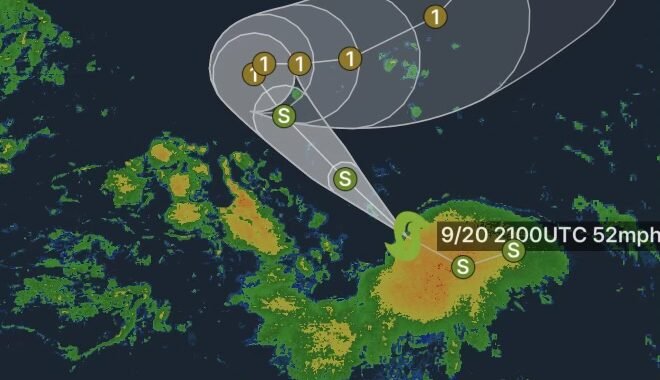
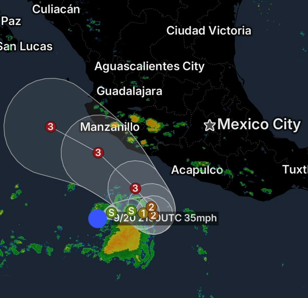
Another tropical system is drawing attention in the Eastern Pacific as Tropical Depression Seventeen-E becomes part of the active tropical weather pattern on September 20, 2026.
The National Hurricane Center (NHC) is monitoring multiple systems across the Eastern Pacific, where warm ocean water and favorable atmospheric conditions can support additional tropical development.
For communities near the Pacific coast, offshore interests, mariners and anyone following the 2026 hurricane season, the key factors will be where the depression travels, how quickly it organizes and whether it strengthens into a tropical storm.
What Is a Tropical Depression?
A tropical depression is an organized tropical cyclone with maximum sustained winds of 33 knots or less, or about 38 mph or less. If sustained winds reach 34 knots, the system becomes a tropical storm and receives a name.
The designation does not automatically mean a system will make landfall or become a hurricane. Tropical cyclones can weaken, remain over open water or change direction as surrounding atmospheric conditions evolve.
Why the Eastern Pacific Is Being Watched
The Eastern Pacific has remained active during September. The NHC’s 2026 season summary lists numerous tropical cyclones already tracked in the basin, including Amanda, Boris, Cristina, Fausto, Genevieve, Karina, Lowell, Marie and Norbert.
Another tropical system developing in the basin means forecasters will continue examining:
- Ocean temperatures along the system’s projected path
- Wind shear that could either strengthen or disrupt the circulation
- Thunderstorm activity around the center
- The size and organization of the circulation
- Steering currents that determine its movement
- Potential rainfall, wind and surf impacts
Even when a tropical cyclone remains offshore, it can produce rough seas, dangerous surf, strong winds and increased moisture well away from its center.
Track and Intensity Will Be Important
Tropical systems can change considerably over a relatively short period. A depression may strengthen if thunderstorms become more concentrated around its circulation and the surrounding environment remains favorable.
Conversely, increasing wind shear, dry air or unfavorable atmospheric conditions can disrupt the circulation and cause weakening.
That makes the latest official forecast especially important. The projected track can also change as new observations and computer-model guidance become available.
What Residents and Travelers Should Do
There is no reason to react to a tropical depression simply because it has formed, but it is a good time to stay informed and monitor official updates if you live near or plan to travel along the Eastern Pacific coast.
Residents should:
- Monitor the latest National Hurricane Center forecasts.
- Know whether they live in an area vulnerable to flooding or coastal hazards.
- Avoid relying on a single forecast model or social-media post.
- Keep emergency supplies available during hurricane season.
- Pay attention to local warnings and instructions if the system moves closer to land.
- Mariners should monitor marine forecasts for deteriorating conditions, increasing winds and building seas.
Radar Watch HQ Final Thoughts
Tropical Depression Seventeen-E is another reminder that the Eastern Pacific can remain active well into September. The most important story will develop over the coming forecast cycles as forecasters determine whether the system strengthens, weakens or changes course.
Radar Watch HQ will continue to follow the latest tropical weather information and translate significant developments into useful weather information for readers.
Stay weather-aware, keep monitoring official forecasts, and be prepared to act if local officials issue warnings or evacuation instructions.