Multiple Areas of Tropical Development Are Being Monitored
Forecasters are monitoring several areas of disturbed weather across the Gulf of America and eastern Pacific on October 6, 2026.
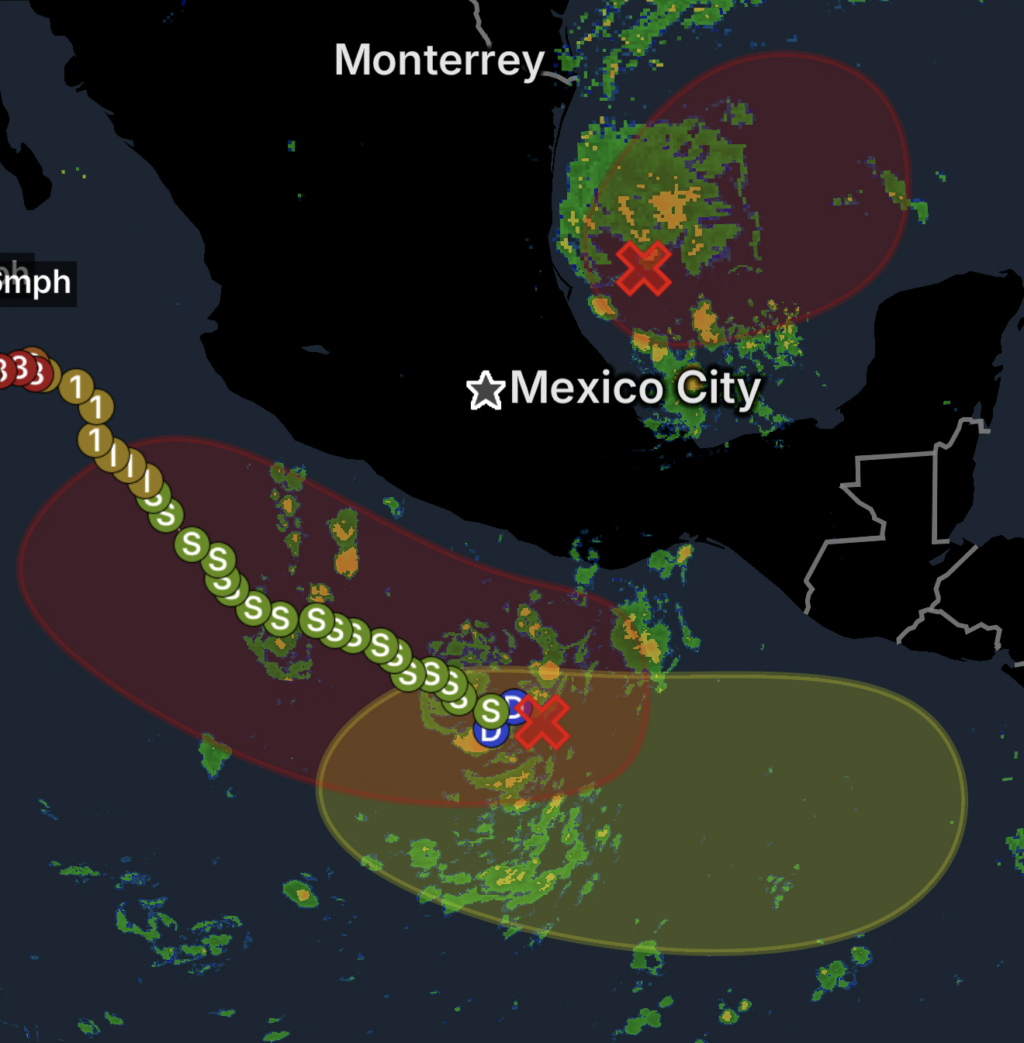
The most immediate concern is a broad area of low pressure over the southwestern Gulf of America, designated AL92 by the National Hurricane Center. Showers and thunderstorms associated with the system are showing signs of organization, and a tropical depression is likely to form within the next couple of days. (National Hurricane Center)
Another area of low pressure offshore of southern Mexico also has favorable conditions for development, while a separate area could develop south of the coast of Guatemala early next week.
🌊 Southwestern Gulf of America — AL92
The southwestern Gulf disturbance is currently producing showers and thunderstorms over the Gulf.
According to the latest NHC outlook, environmental conditions are only marginally conducive, but a tropical depression is likely to form within the next couple of days. NHC currently gives the system an 80% formation chance through 48 hours and 80% through seven days. (National Hurricane Center)
The system is expected to move generally east-northeastward through the middle of the week before turning northward.
🇲🇽 Potential Yucatán Peninsula Impacts
As the disturbance moves eastward, it could bring gusty winds and periods of heavy rain to western portions of the Yucatán Peninsula of Mexico in the coming days.
Residents and travelers in affected areas should monitor updates as the system develops.
🌴 Northern Gulf Coast — Too Early for Specific Impacts
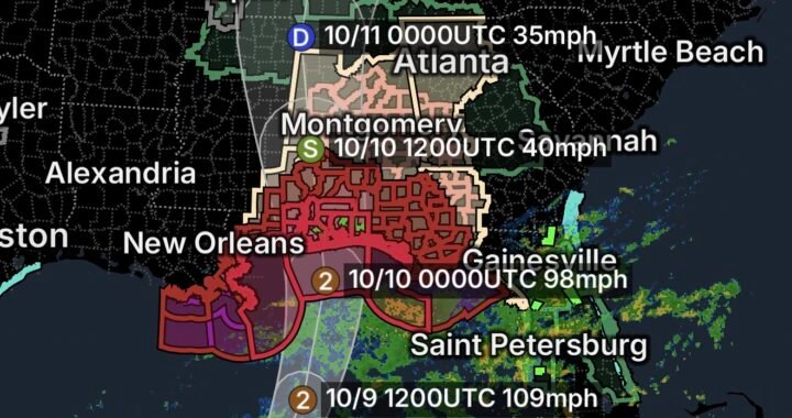
The system could eventually turn north toward the northern Gulf Coast, but it remains too early to determine exactly where or how strongly it could affect the coastline.
Interests from the Florida Panhandle to Louisiana should closely monitor the system.
NHC is continuing to monitor AL92 as it develops. (National Hurricane Center)
🌧️ Disturbance South of Southern Mexico
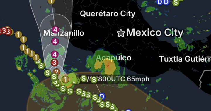
A separate broad area of low pressure offshore of southern Mexico is producing increasing showers and thunderstorms.
Environmental conditions are favorable for gradual development, and NHC says a tropical depression is likely to form within the next couple of days as the system moves slowly west-northwestward to northwestward. (National Hurricane Center)
NHC currently gives this disturbance an 80% chance of formation within 48 hours and a 90% chance within seven days. (National Hurricane Center)
⚠️ Heavy Rain for Southern Mexico
Regardless of whether the system strengthens, heavy rainfall is expected across portions of southern and southwestern Mexico over the next several days.
Heavy rain could produce dangerous flooding, especially in areas prone to flash flooding, landslides, and rapid runoff.
Residents along the southwestern Mexican coast should continue monitoring the system.
🌴 Potential Development South of Guatemala
Another area of low pressure is expected to develop south of the coast of Guatemala early next week.
Environmental conditions are expected to be conducive to some gradual development afterward as the disturbance moves generally west-northwestward at around 10 mph.
Because this system has not yet formed, there is considerable uncertainty regarding its eventual strength and track.
🌀 What Gulf Coast Residents Should Know
Residents along the northern Gulf Coast should not assume a specific landfall location or intensity at this time.
The Gulf system is still developing, and the eventual track will determine which areas could experience the greatest effects.
Potential hazards could include:
- 🌧️ Heavy rainfall
- 💨 Gusty winds
- 🌊 Rough seas
- 🌀 Tropical-storm conditions if sufficient strengthening occurs
- 🌧️ Inland flooding
Residents from Louisiana through the Florida Panhandle should monitor official forecasts rather than relying on early projected tracks.
🛑 Tropical Weather Safety Essentials
Stay informed: Monitor the National Hurricane Center and local National Weather Service offices for updates.
Do not focus only on the center track: Tropical systems can produce dangerous rain and wind well away from the center.
Prepare early: Gulf Coast residents should review hurricane preparedness plans while there is still plenty of time.
Watch for flooding: Never drive through flooded roads. Turn around, don’t drown.
Boaters should monitor marine forecasts: Conditions can deteriorate rapidly as tropical systems organize.
The Bottom Line
🌀 October 6, 2026: Multiple tropical disturbances are being monitored.
AL92 in the southwestern Gulf of America has an 80% chance of developing into a tropical cyclone within 48 hours, according to the latest NHC outlook. A tropical depression is likely to form within the next couple of days. (National Hurricane Center)
🌧️ A separate disturbance south of southern Mexico has an 80% chance of development within 48 hours and 90% within seven days, with heavy rainfall expected across portions of southern and southwestern Mexico regardless of development. (National Hurricane Center)
🌴 Another area could develop south of Guatemala early next week.
For the northern Gulf Coast, it remains too early to determine specific impacts, but residents from the Florida Panhandle to Louisiana should closely monitor the situation as the Gulf system evolves.