A Broad Flood Threat Stretches Across the Country
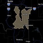
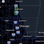
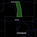
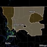
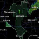
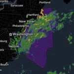
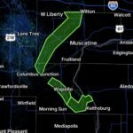
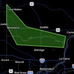
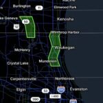
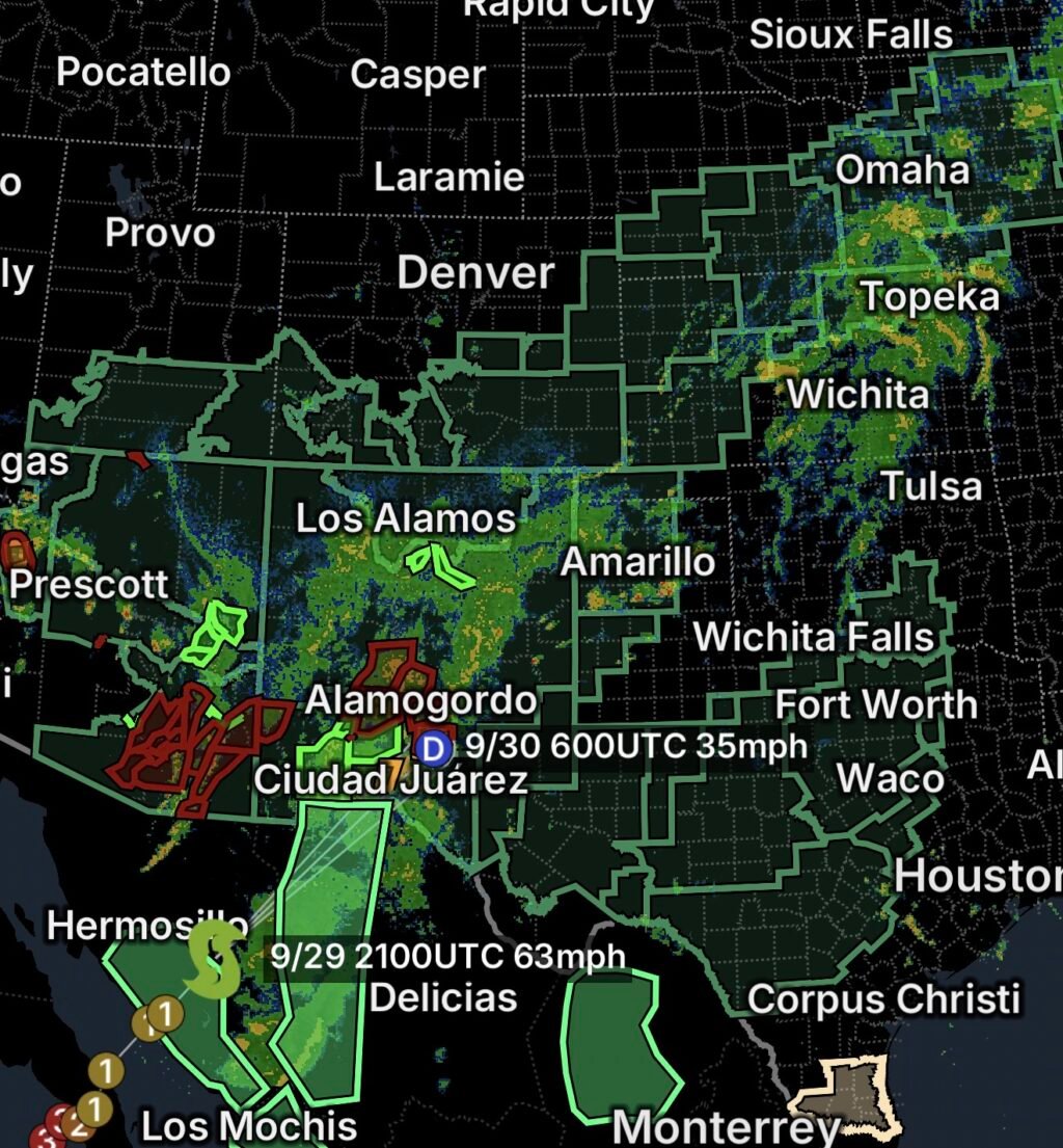
September 29, 2026: Flood Watches and flooding concerns are developing across a large portion of the United States, creating a weather pattern that stretches from the Midwest to the Southwest and into the South.
The widespread threat is being fueled by a combination of deep moisture, repeated thunderstorms, slow-moving weather systems and areas of already-saturated ground.
Rather than one isolated flooding event, several regions are facing their own periods of heavy rainfall as the weather pattern evolves.
🌧️ Southwest: Tropical Moisture Remains a Major Factor
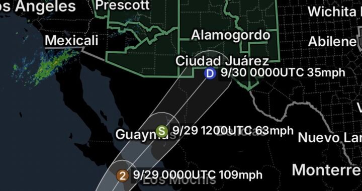
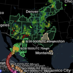
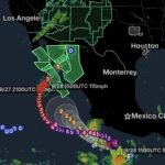
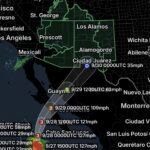
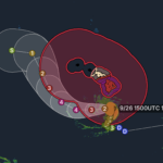
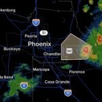
The Southwest continues to deal with moisture associated with the remnants of Hurricane Polo.
Although Polo is moving inland and weakening, its tropical moisture is being absorbed into a larger weather system. This is helping maintain the potential for heavy rainfall across portions of Arizona, New Mexico, southern Utah and Far West Texas.
Flooding concerns remain particularly important around:
- Mountain ranges
- Burn scars
- Arroyos
- Normally dry washes
- Low-water crossings
- Urban drainage areas
- Rivers and streams
Heavy rainfall can produce rapid runoff in mountainous and desert terrain.
⛈️ Plains: Moisture Moves Eastward
The moisture corridor is extending from the Southwest into the Southern and Central Plains.
Thunderstorms developing along this corridor can repeatedly move across the same locations, allowing rainfall to accumulate quickly.
Areas across portions of Texas, Oklahoma, Kansas and Nebraska may experience:
- Heavy rainfall
- Flash flooding
- Roadway flooding
- Rising creeks and streams
- Urban drainage problems
- River flooding
The threat can shift quickly as thunderstorms develop and move eastward.
🌾 Midwest: Flooding Concerns Continue
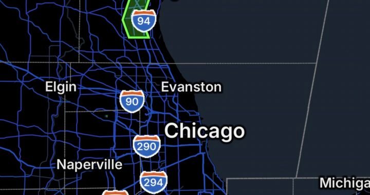
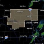
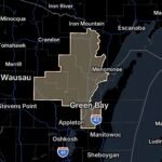
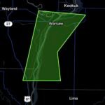
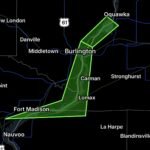
Farther north, moisture is spreading into portions of the Midwest, where additional rainfall could create problems in areas that have already received significant precipitation.
Repeated rainfall can saturate the ground and increase runoff into local streams and rivers.
Flooding concerns can include both flash flooding and longer-duration river flooding, depending on the location and rainfall totals.
Drivers should be particularly cautious around flooded roads and low-lying areas.
🌧️ South: Heavy Rain and Thunderstorms
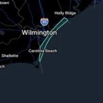
The southern United States is also vulnerable as moisture continues moving through the region.
Thunderstorms can produce locally heavy rainfall, particularly where storms repeatedly track over the same communities.
Flooding can develop in:
- Low-lying neighborhoods
- Urban areas
- Poorly drained roads
- Creeks and streams
- Areas near rivers
- Rural areas with saturated soils
Even locations outside an official Flood Watch can experience localized flooding if intense thunderstorms develop.
Why the Flood Threat Covers Such a Large Area
The expansive flood threat is tied to the interaction of several weather ingredients.
1. Deep Moisture
Tropical moisture from the eastern Pacific is contributing to unusually moisture-rich conditions across portions of the West and Plains.
2. Repeated Thunderstorms
When storms repeatedly travel over the same area, rainfall can accumulate much faster than drainage systems can handle.
3. Saturated Ground
Areas that have already received substantial rainfall have less capacity to absorb additional water.
4. Slow-Moving Weather Systems
Weather systems that move slowly can keep rain and thunderstorms over the same regions for an extended period.
Flash Flooding vs. River Flooding
Not every flood threat develops the same way.
Flash flooding can occur rapidly, sometimes within minutes to a few hours of intense rainfall. It is especially dangerous around washes, small streams, steep terrain and urban drainage systems.
River flooding generally develops more slowly as water accumulates within larger watersheds and rivers.
Both hazards can occur during the same weather event.
Areas That Require Extra Caution
People should be especially alert if they live or travel near:
🏔️ Mountains
🏜️ Desert washes
🔥 Burn scars
🌊 Rivers and streams
🏙️ Urban drainage systems
🚗 Low-water crossings
🌾 Low-lying farmland
🏞️ Canyons and recreation areas
A Flood Watch means conditions are favorable for flooding. A Flash Flood Warning means flooding is occurring or imminent in the warned area.
Essentials: Flood Safety
🚗 Never Drive Through Floodwater
Water can conceal washed-out roads, debris and dangerous currents.
Turn around, don’t drown.
🌊 Move to Higher Ground
If water begins rising around your home or campsite, move to a safer location before roads become impassable.
🏜️ Avoid Washes and Arroyos
This is particularly important across the Southwest. Water can rush into a dry wash from storms occurring miles away.
📱 Monitor Alerts
Keep emergency notifications enabled and monitor your local National Weather Service office.
🌧️ Don’t Let Up After the Storm
Flooding can continue after the heaviest rainfall has ended as water drains downstream.
Bottom Line
September 29, 2026: Flood Watches and flooding concerns stretch across a broad portion of the country, from the Midwest and Plains to the Southwest and South.
The weather pattern is being driven by deep moisture, thunderstorms and multiple interacting weather systems. In the Southwest, the remnants and moisture associated with Hurricane Polo remain an important part of the setup, while farther east additional moisture and thunderstorms are contributing to flooding concerns.
Residents should remain alert for rapidly changing conditions, especially near rivers, streams, washes, burn scars and low-lying areas.
If a Flash Flood Warning is issued for your area, act immediately and move to higher ground.