A New Area of Low Pressure Could Develop in the Southwestern Gulf
The National Hurricane Center is monitoring the southwestern Gulf of America for possible tropical development as of October 4, 2026.
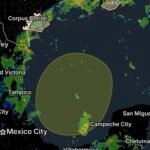
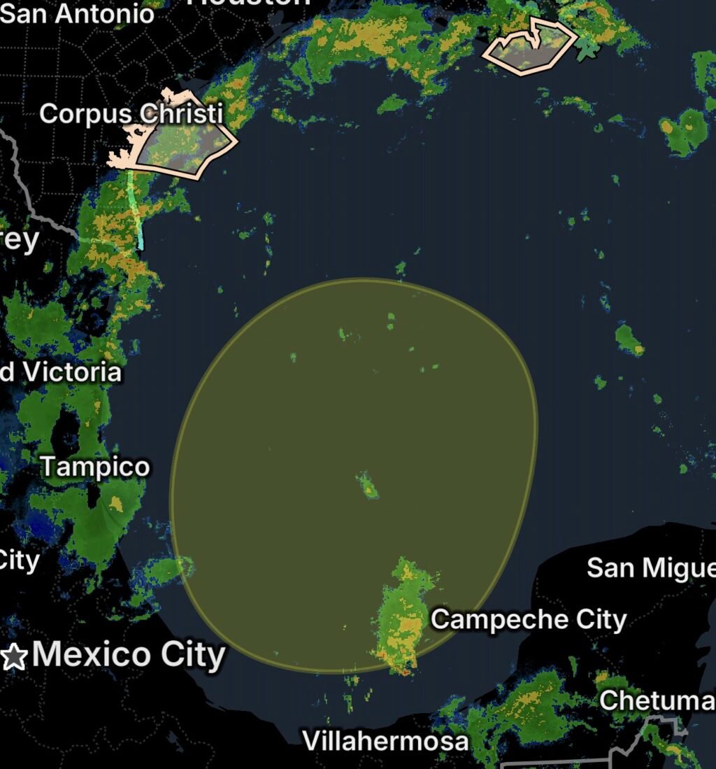
A broad area of low pressure could form over the southwestern Gulf in the coming days. If it develops, some slow development is possible while the system drifts northward over the southwestern Gulf waters.
The current formation probability is near 0% through 48 hours and 30% through seven days, meaning development is possible but far from certain at this time. (National Hurricane Center)
No tropical cyclone has formed from this area at this time.
What the Gulf Coast Should Watch
The potential system is still in an early stage, so there is not yet enough information to determine whether it will become a tropical depression or storm, where it could ultimately move, or what impacts it might produce on land.
The most important development over the next several days will be whether a defined low-pressure center forms and whether environmental conditions allow it to organize.
Residents along the Texas and Louisiana Gulf Coast should continue monitoring official forecasts as the situation evolves.
⛈️ Marine Thunderstorms Affecting Coastal Texas
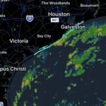
While the tropical outlook is being monitored, active thunderstorms are already affecting portions of the Texas coastal waters.
The National Weather Service Corpus Christi issued a Marine Weather Statement for scattered to numerous showers and thunderstorms producing gusty winds and tropical funnels. Some storms may produce wind gusts around 30 knots or greater. (Marine Weather)
The affected waters and bays include:
- Baffin Bay and Upper Laguna Madre
- Corpus Christi and Nueces Bays
- Copano, Aransas and Redfish Bays
- San Antonio, Mesquite and Espiritu Santo Bays
- Coastal waters from Baffin Bay to Port Aransas out 20 nautical miles
- Coastal waters from Port Aransas to the Matagorda Ship Channel out 20 nautical miles
- Waters from Baffin Bay to Port Aransas from 20 to 60 nautical miles
- Waters from Port Aransas to the Matagorda Ship Channel from 20 to 60 nautical miles (Marine Weather)
Tropical Funnels Can Develop Beneath Strong Storms
The mention of tropical funnels does not mean that a major tornado outbreak is underway. However, funnel clouds can develop underneath tropical showers and thunderstorms and may occasionally reach the water or land.
Boaters should treat strong thunderstorms seriously because wind conditions can change rapidly.
🚤 Marine Safety for Texas Boaters
Boaters in the affected waters should be prepared for sudden changes in wind and visibility.
Strong thunderstorms can produce:
- 💨 Sudden wind gusts
- 🌧️ Heavy rainfall
- ⚡ Frequent lightning
- 🌊 Rapidly changing waves
- 🌪️ Tropical funnels
- 👁️ Reduced visibility
Small vessels are particularly vulnerable to sudden higher winds and waves.
If thunderstorms approach, mariners should seek safe harbor whenever possible and avoid remaining exposed on open water.
⛈️ Marine Weather Threat Along the Louisiana Coast
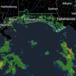
Marine weather concerns also extend into southeastern Louisiana waters, including:
- Terrebonne Bay
- Barataria Bay
- Coastal waters from Port Fourchon to the lower Atchafalaya River out 20 nautical miles
- Coastal waters from the Southwest Pass of the Mississippi River to Port Fourchon out 20 nautical miles
These waters are part of the broader Gulf Coast marine environment being affected by showers, thunderstorms and unsettled conditions.
Boaters should monitor the latest National Weather Service marine statements and coastal forecasts before leaving port.
🌴 Gulf Waters Remain Unsettled
The combination of a developing low-pressure area, abundant tropical moisture and ongoing thunderstorms means conditions over parts of the Gulf could remain unsettled.
Even before any tropical system develops, thunderstorms can create hazardous conditions independently of the larger weather pattern.
This is especially important for recreational boaters who may be tempted to continue operating during periods of scattered storms.
What the Tropical Outlook Means Right Now
The current outlook does not mean that a tropical storm or hurricane is developing.
Instead, forecasters are watching for the possible formation of a broad low-pressure area.
The National Hurricane Center currently gives the system:
48-hour formation chance: Near 0%
7-day formation chance: 30% (National Hurricane Center)
Because the system has not yet formed, the forecast track and potential impacts remain uncertain.
What Gulf Coast Residents Should Do
Residents along the Texas and Louisiana coasts do not need to make storm preparations based solely on this early outlook.
However, this is a good time to:
- 📱 Monitor the National Hurricane Center.
- 🌦️ Check local National Weather Service forecasts.
- 🚤 Check marine conditions before boating.
- 🔋 Make sure weather radios and phones are charged.
- 🌀 Review hurricane preparedness plans if you live along the Gulf Coast.
- 🌊 Pay attention to coastal and marine warnings.
- ⚠️ Never ignore a Special Marine Warning or other urgent marine alert.
Essentials
📅 Date: October 4, 2026
🌴 Area of Interest: Southwestern Gulf of America
🌀 Current status: Broad low-pressure area could form in coming days
📈 48-hour development chance: Near 0%
📈 7-day development chance: 30%
➡️ Possible movement: Northward over the southwestern Gulf
⛈️ Current marine hazard: Scattered to numerous showers and thunderstorms
💨 Storm threat: Gusty winds around 30 knots or greater possible
🌪️ Additional threat: Tropical funnels
📍 Texas waters: Baffin Bay through the Matagorda Ship Channel
📍 Louisiana waters: Terrebonne Bay, Barataria Bay, Port Fourchon and nearby coastal waters
Bottom Line
The National Hurricane Center is monitoring the southwestern Gulf of America for possible low-pressure development, with a 30% chance of tropical cyclone formation over the next seven days as of October 4, 2026. (National Hurricane Center)
At the same time, marine thunderstorms are already creating hazardous conditions across portions of the Texas Gulf Coast, with gusty winds and tropical funnels possible. (Marine Weather)
For boaters, the immediate concern is the active thunderstorm threat. For Gulf Coast residents, the developing low-pressure area is something to monitor rather than a confirmed tropical storm threat.
Stay weather-aware, check marine conditions before heading offshore, and follow all official warnings and statements.