Weiser Knoll Fire Grows Rapidly Near Lander
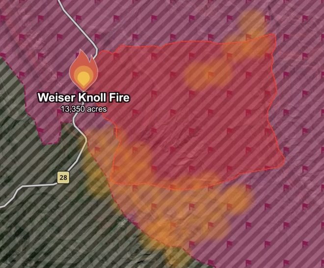
The Weiser Knoll Fire is burning in Fremont County, Wyoming, southeast of Lander, and has become a major wildfire emergency as firefighters work to slow its rapid spread.
As of August 11, the fire was estimated at approximately 13,350 acres, with containment still reported at 0%. The fire has been driven by dry fuels, strong winds and extremely challenging fire-weather conditions.
The blaze began Sunday, August 9, near Wyoming Highway 28. Officials have reported that a mechanical failure involving a trailer wheel sparked multiple fires along the highway.
Level 3 “Go” Evacuation Order
The most urgent concern for residents is the Level 3 “Go” evacuation order.
Residents in the Twin Creek drainage area east of Highway 28 at Johnnie Lee’s Corner and south of U.S. Highway 287 have been ordered to leave because of the wildfire threat.
A Level 3 “Go” order means residents should leave immediately rather than waiting for additional warnings.
If you are inside the evacuation area, follow instructions from Fremont County emergency officials and use the designated evacuation routes.
Critical Fire Weather Is Fueling the Flames
Weather conditions remain a major factor in the fire’s behavior.
The Wyoming Bureau of Land Management reported that Red Flag conditions, including strong gusty winds, low relative humidity and elevated temperatures, contributed to wind-driven runs and increased fire activity.
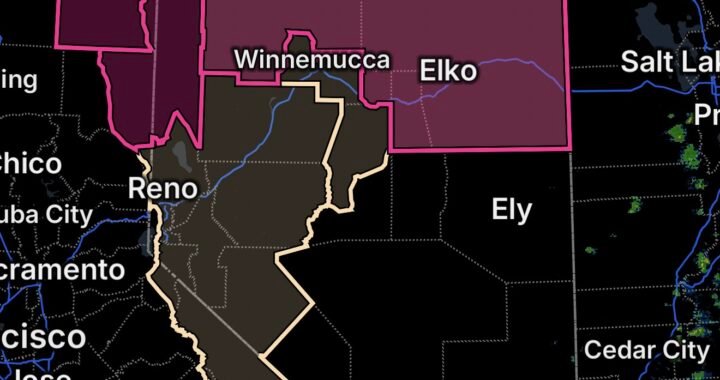
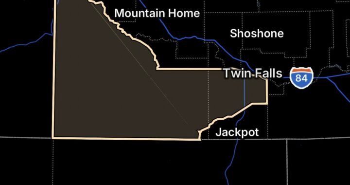
The National Weather Service’s Red Flag Warning for Fremont County was reported to remain in effect through 9 p.m. Tuesday, August 11.
Because wildfire behavior can change rapidly when winds increase, residents outside the current evacuation area should remain alert and be prepared to leave if evacuation boundaries expand.
Firefighters Continue Aggressive Suppression Efforts
Fire crews and aircraft are actively working to slow the Weiser Knoll Fire.
Local, state and federal resources have been involved in the response, including ground crews and aerial firefighting resources. Officials have also been working to establish fire lines and better map the perimeter as conditions allow.
The latest perimeter information is expected to be updated as aerial and ground mapping becomes available.
Smoke and Road Impacts
The rapidly expanding wildfire has produced significant smoke, while fire activity has affected transportation in the South Pass area.
Residents and travelers should avoid unnecessary travel near the active fire zone and watch for changing road conditions, closures and emergency-response traffic.
Smoke can also reduce visibility and create hazardous driving conditions.
What Residents Should Do Now
If you are under the Level 3 evacuation order:
- Leave immediately.
- Take essential medications, identification, important documents and necessary supplies.
- Bring pets and livestock if it can be done safely.
- Follow instructions from local emergency officials.
- Do not return until authorities say it is safe.
- Avoid driving toward the fire or entering closed areas.
- Never fly a drone near an active wildfire because it can interfere with firefighting aircraft.
Residents near the evacuation area should keep emergency supplies ready and monitor official Fremont County emergency information for changes.
Weiser Knoll Fire Situation Remains Dangerous
The combination of 0% containment, dry fuels, strong winds and Red Flag conditions means the situation remains highly dynamic.
The fire’s rapid growth over a short period demonstrates how quickly conditions can deteriorate during Wyoming’s peak wildfire season.
For residents in and around Fremont County, staying informed and acting quickly when evacuation orders are issued is critical.
Stay Alert With Radar Watch HQ
Radar Watch HQ will continue monitoring major wildfire threats, evacuation developments and dangerous weather conditions across the United States.
If you are in or near the Weiser Knoll Fire area, follow official evacuation instructions and do not delay leaving when ordered to GO.

Affiliate Disclosure: As an Amazon Associate, Radar Watch HQ earns from qualifying purchases.
Radar Watch HQ Top 5 Essentials – Wildfire Preparedness
Helps reduce exposure to wildfire smoke, ash, and fine particles.
Provides alerts during power outages or when cell service is unavailable.
Go Bag / Emergency Preparedness Kit
Includes important documents, medications, water, food, flashlights, and basic supplies for quick evacuation.
Fire-Resistant Outdoor Supplies
Items such as fire-resistant gloves, protective clothing, and tools for creating defensible space around property.
Portable Power Bank & Backup Charging Supplies
Keeps phones and emergency devices powered during wildfire emergencies.