








Hurricane Polo Begins Moving Away From Southwestern Mexico
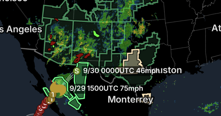
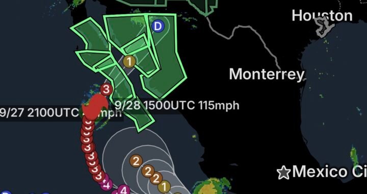
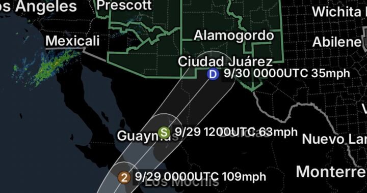
Category 4 Hurricane Polo is beginning to move away from the coast of southwestern Mexico, but dangerous weather conditions continue across portions of the coastline.
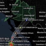
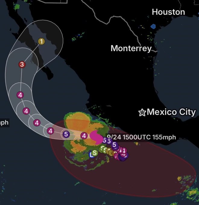
According to the National Hurricane Center, Polo was located about 195 miles west-southwest of Zihuatanejo and about 150 miles south of Manzanillo Thursday morning. The hurricane had maximum sustained winds of 155 mph, with higher gusts, and was moving west-northwest at about 10 mph.
Polo’s core is expected to continue moving away from southwestern Mexico, although tropical-storm conditions remain possible or ongoing along portions of the coast. A Tropical Storm Warning is in effect from Tecpan de Galeana to Manzanillo, while a Tropical Storm Watch extends west of Manzanillo to Playa Perula.
Heavy Rain and Flooding Remain Important Concerns
Even as Polo pulls farther offshore, its outer rainbands can continue producing periods of heavy rainfall along coastal portions of southwestern Mexico.
The National Hurricane Center has warned that heavy rainfall could produce life-threatening flooding and mudslides, particularly across areas with steep terrain.
Residents and visitors in affected coastal communities should continue following instructions from local authorities and Mexico’s national meteorological service until conditions improve.
Polo Expected to Gradually Weaken
Polo remains an exceptionally powerful hurricane, but gradual weakening is expected as the system moves farther into the Pacific.
The National Hurricane Center forecast calls for Polo to turn more toward the west later Thursday and Friday before moving west-northwestward again Saturday. Increasing vertical wind shear is expected to contribute to weakening later in the forecast period.
However, weakening does not immediately eliminate the threat. Large swells, dangerous surf, heavy rainfall and strong winds can continue well away from the hurricane’s center.
New Tropical System Could Develop South of the Gulf of Tehuantepec
While attention remains on Hurricane Polo, another area of interest is developing farther east.
The National Hurricane Center expects an area of low pressure to form in a couple of days south of the Gulf of Tehuantepec. Environmental conditions are then expected to become favorable for gradual development.
The system is expected to move slowly west-northwestward to northwestward, generally parallel to the southern and southwestern coast of Mexico.
Current forecasts indicate that a tropical depression is likely to form early next week if the system continues to organize.
Why This Area Matters
The waters south of Mexico’s Pacific coastline are a historically active region for tropical development. Warm ocean temperatures, moisture and favorable atmospheric conditions can allow disturbances in this region to gradually organize.
At this stage, however, the system has not yet formed, and there is no named storm associated with it. Forecast details can change considerably as the disturbance develops and its circulation becomes better defined.
What to Watch Over the Coming Days
The eastern Pacific could remain active as September continues, with Hurricane Polo moving away from southwestern Mexico while another potential tropical system begins taking shape.
For coastal Mexico, the immediate focus remains on lingering rainfall, flooding, rough surf and tropical-storm conditions associated with Polo.
Farther south near the Gulf of Tehuantepec, residents and interests should monitor future National Hurricane Center updates as forecasters determine how quickly the developing low organizes.
Tropical systems can change strength and direction, so residents along the Pacific coast should rely on the latest official forecasts rather than older storm-track information.
Radar Watch HQ will continue tracking the latest tropical developments and breaking down what they could mean for communities along the Pacific coast. Stay weather-aware, monitor official updates, and have a preparedness plan ready before conditions deteriorate.