
Hurricane Polo Moves Inland — But the Moisture Threat Continues
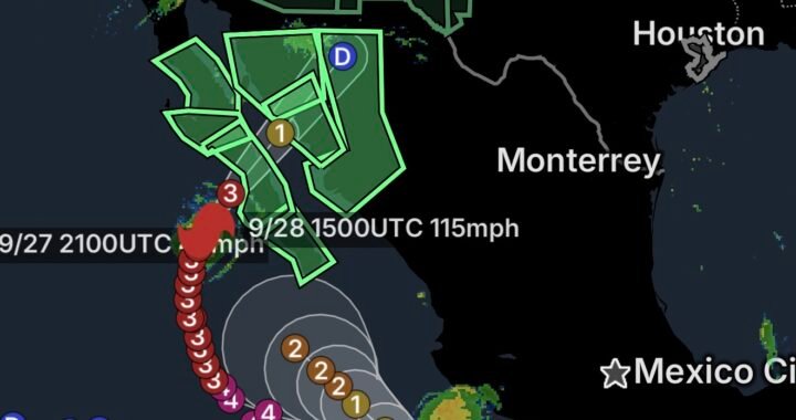
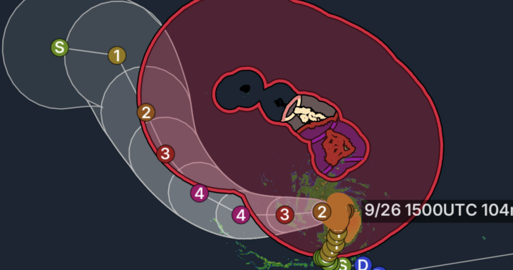
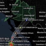
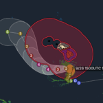
September 29, 2026: Hurricane Polo has moved into the Baja California Peninsula, but the storm’s influence is far from over.
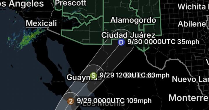
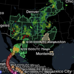
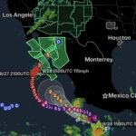
The National Hurricane Center reported Polo making landfall in Baja California Sur with maximum sustained winds of 115 mph. Although Polo is weakening as it moves inland, its tropical moisture is being absorbed into a larger weather pattern over the western United States. (National Weather Service)
That moisture is creating a long corridor of heavy rainfall extending well beyond the storm’s center.
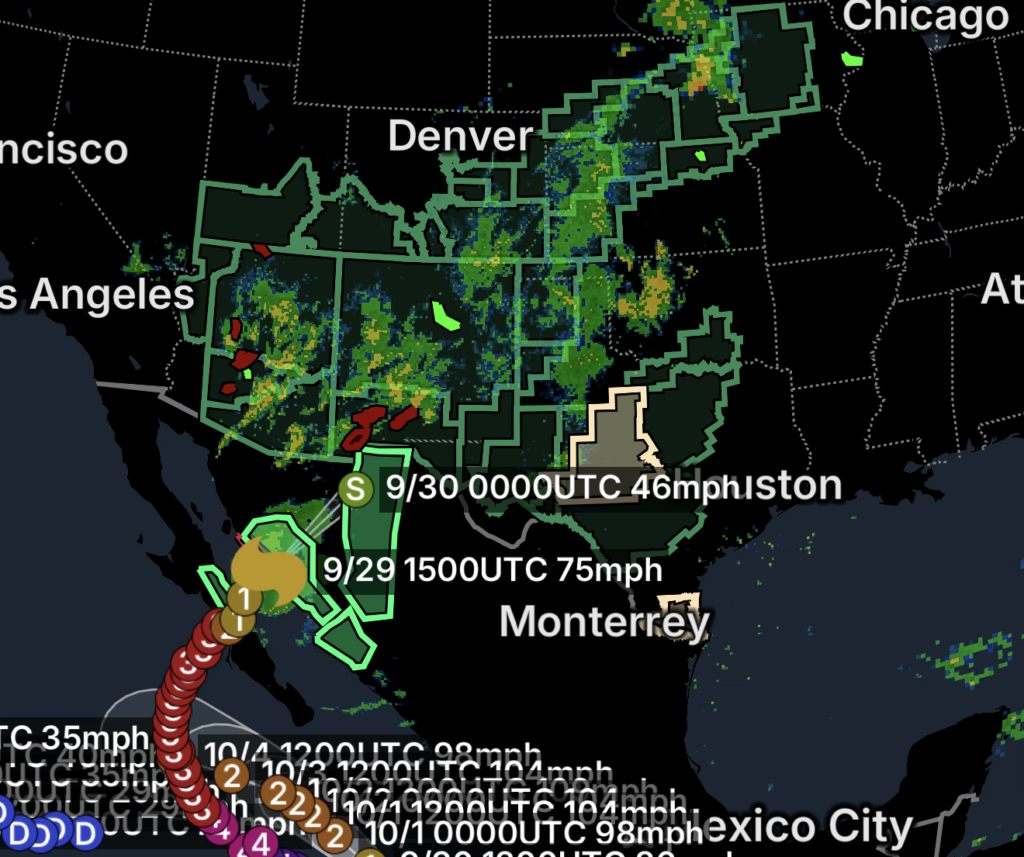
The National Weather Service Weather Prediction Center is tracking a multi-day flood event beginning in the Southwest and spreading eastward into the Southern Plains, Central Plains and eventually the Upper Midwest. (Marine Weather)
A Moisture Trail From the Southwest to the Midwest
This is not a situation where the hurricane itself travels all the way to the Midwest.
Instead, Polo’s tropical moisture is being carried into a larger-scale weather system, where it can help produce heavy rainfall hundreds of miles from the storm’s center.
The developing pattern stretches approximately:
Baja California → Arizona → New Mexico → West Texas → Southern/Central Plains → Nebraska/Kansas → Dakotas → Upper Mississippi Valley/Midwest
The Weather Prediction Center says the remnants of Polo are becoming incorporated into an upper-level trough moving across the Southwest. As that system shifts east, the focus for heavy rain is expected to move toward the Plains and eventually the Mississippi Valley. (National Weather Service)
Southwest Remains Under a Significant Flood Threat
The Southwest remains one of the primary areas of concern on September 29.
Heavy rainfall is continuing across portions of Arizona, New Mexico, southern Utah and surrounding areas, with already-saturated soils increasing the potential for additional runoff.
The Weather Prediction Center previously identified a Moderate Risk of Excessive Rainfall across portions of the Southwest, while noting that widespread heavy rain and numerous instances of flash flooding could continue as Polo’s remnant energy moves into the region. (National Weather Service)
Areas of particular concern include:
- Northern, central and southern Arizona
- New Mexico
- The Four Corners
- Southern Utah
- Southeast Arizona
- Southern Colorado
- Far West Texas
- Areas along and near the Rio Grande
Burn Scars and Mountain Terrain Add to the Risk
The combination of tropical moisture and mountainous terrain is particularly concerning.
The Weather Prediction Center has noted that soils in parts of the Four Corners are already saturated from recent rainfall. Burn scars, rocky terrain and slot canyons can further increase runoff and flash-flood potential. (Marine Weather)
This means that even additional rainfall that might normally be manageable could produce dangerous flooding in vulnerable locations.
New Mexico and West Texas Become a Major Transition Zone
As Polo’s remnants move northeastward, New Mexico and West Texas become an important bridge between the Southwest and the Plains.
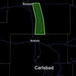
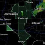
The National Weather Service office in El Paso previously warned that tropical moisture from Polo would produce another round of widespread showers and thunderstorms across New Mexico and West Texas, with heavy rain and flash flooding possible. (Marine Weather)
This area could experience:
🌧️ Repeated thunderstorms
🌊 Flash flooding
🏜️ Flooded washes and arroyos
🏔️ Mountain runoff
🚗 Dangerous road conditions
🔥 Burn-scar flooding
Rainfall in this region can also contribute to flooding farther downstream as water moves through rivers and drainage systems.
The Flood Threat Then Shifts Toward the Plains
As the upper-level system and tropical moisture move east, the flood threat begins spreading into the Southern and Central Plains.
The Weather Prediction Center expects significant flash-flood potential to shift into north-central Texas, while heavy rain and river-flooding concerns expand into the Central Plains and Upper Midwest. (Marine Weather)
This creates a developing corridor of concern through parts of:
- Texas
- Oklahoma
- Kansas
- Nebraska
- Colorado
- South Dakota
- North Dakota
- Minnesota
The exact placement of the heaviest rainfall will depend on where thunderstorms repeatedly develop and track.
Flood Watches Reach Into the Midwest
The moisture trail is already being reflected in flood concerns farther east.
National Weather Service offices are highlighting the potential for tropical moisture from the remnants of Polo and other Pacific systems to surge over the Southwest and into the central United States.
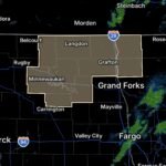
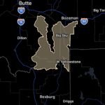
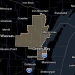
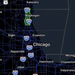
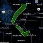
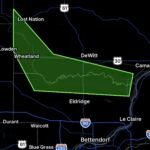
Flood Watches have been issued across portions of the Plains and Midwest, including areas of Nebraska, with some watches beginning Tuesday evening and continuing into Thursday. (National Weather Service)
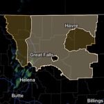
In the northern Plains, the Weather Prediction Center has also identified concerns for training showers and thunderstorms across portions of the Dakotas and northwestern Minnesota. (Marine Weather)
Why the Moisture Can Travel So Far
Tropical systems are efficient sources of atmospheric moisture.
When the remnants of a tropical cyclone become absorbed by a larger weather system, the storm’s moisture can be transported hundreds of miles away.
In this case, Polo’s remnant moisture is being drawn into a strong upper-level trough. At the same time, strong southerly winds are transporting additional moisture northward from the Gulf of Mexico toward the Plains.
That means the rainfall threat is being supported by multiple moisture sources, not simply the remnants of Polo.
The result can be a broad and persistent corridor of heavy rainfall.
A Multi-Day Flood Event Is Possible
The National Weather Service describes this as a multi-day and potentially dangerous flash-flood event across the Southwest and Southern High Plains, with the threat later spreading toward the central Plains and Upper Midwest. (Marine Weather)
The concern is therefore not limited to one afternoon of thunderstorms.
Repeated rainfall can:
- Saturate soils
- Raise creek and river levels
- Overwhelm drainage systems
- Flood roads
- Produce flash flooding
- Increase mud and debris flows
- Cause flooding downstream from mountain areas
Some locations could experience flooding even after the most intense rainfall has moved away.
What Residents Should Watch For
Residents across the Southwest and Plains should monitor changing conditions closely.
🌧️ Southwest
Watch for flash flooding, especially around mountains, washes, burn scars and areas that have already received heavy rain.
🌵 Southern Plains
Heavy thunderstorms could produce rapid runoff and dangerous roadway flooding.
🌾 Central Plains
Repeated thunderstorms may lead to accumulating rainfall and rising streams and rivers.
🌧️ Upper Midwest
The moisture plume can contribute to prolonged rainfall and additional river-flooding concerns as the system moves east.
Essentials: How to Stay Safe
🚗 Never drive through flooded roads.
Water can hide washed-out pavement and debris.
🏜️ Stay out of washes and arroyos.
They can fill rapidly even when rain is not falling directly overhead.
🔥 Avoid burn scars.
Heavy rainfall can trigger dangerous runoff, mud and debris flows.
🌊 Monitor rivers and streams.
Flooding can continue or worsen after the heaviest rain has ended.
📱 Keep emergency alerts enabled.
A Flood Watch can quickly become a Flash Flood Warning as storms develop.
⛈️ Take repeated storms seriously.
Several rounds of moderate-to-heavy rain can create serious flooding even without one exceptionally intense storm.
Bottom Line
September 29, 2026: Hurricane Polo is moving inland and weakening, but its tropical moisture is creating a much larger weather story.
The storm’s remnants are being absorbed into a powerful weather pattern that is carrying moisture from the Southwest into the Southern Plains, Central Plains and Midwest.
Flooding concerns are therefore not ending simply because Polo is weakening.
Instead, the threat is evolving and spreading eastward, with the Southwest dealing with ongoing flash-flood concerns while portions of Texas, the Plains and Midwest prepare for additional heavy rainfall and possible river flooding.
The hurricane may be weakening, but the moisture trail remains a major weather concern.