Pacific Cold Front Brings Strong Winds to Montana
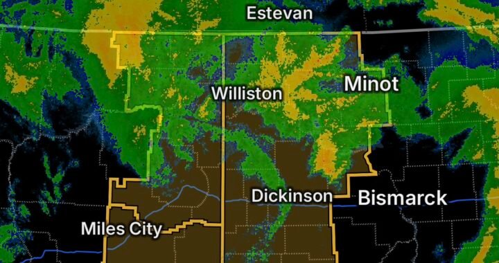
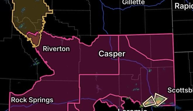
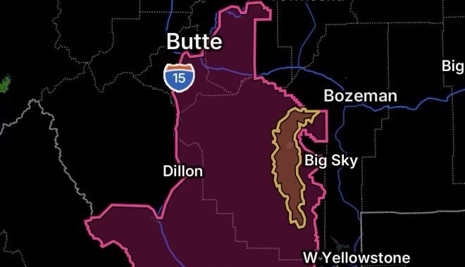
A strong Pacific cold front is moving across Montana and will bring gusty to strong winds to portions of central and north-central Montana.
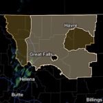
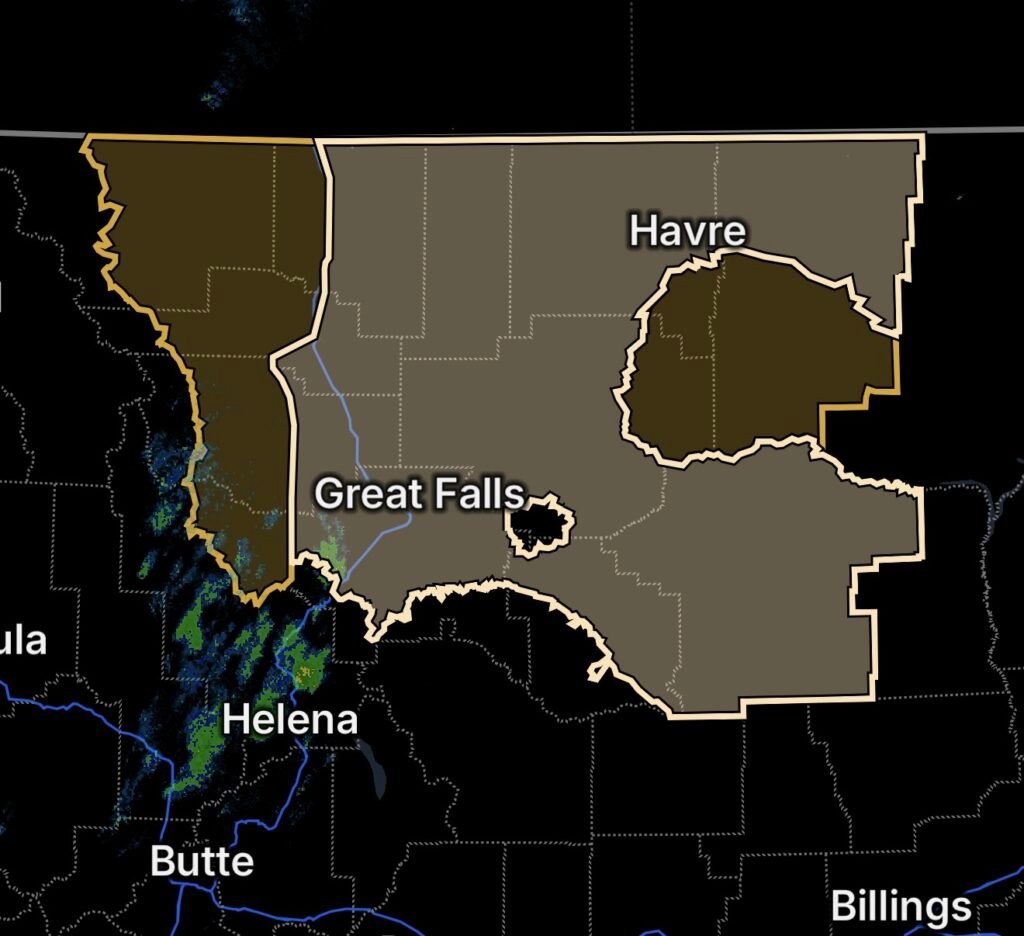
The National Weather Service has issued a Special Weather Statement highlighting the potential for increasingly windy conditions. High Wind Warnings are also in effect across portions of northern and central Montana where stronger wind gusts are expected.
The combination of a strong frontal passage and powerful winds could create difficult travel conditions, especially for high-profile vehicles and motorists traveling across open areas.
High Wind Warning Areas
High Wind Warnings include portions of:
- Eastern Glacier County
- Western Toole County
- Central Pondera County
- Northern High Plains
- Southern High Plains
Residents and travelers in these areas should prepare for periods of strong winds and rapidly changing weather conditions as the cold front moves through.
What the Pacific Cold Front Means
A Pacific cold front can produce a noticeable change in weather as colder air moves into the region. The pressure difference associated with the frontal system can also increase wind speeds.
Strong winds may develop quickly around the time of frontal passage. Conditions can remain hazardous even after the front has moved through, particularly across exposed terrain and open plains.
Travel Impacts
Strong crosswinds can make driving difficult, particularly for:
- High-profile trucks
- RVs and campers
- Buses
- Trailers
- Vehicles towing trailers
Motorists should reduce speed, maintain extra distance between vehicles, and use caution when crossing bridges or traveling through exposed areas.
Sudden wind gusts can cause vehicles to drift or become difficult to control.
Potential Power and Property Impacts
Strong winds can knock down tree branches and potentially damage weaker structures. Downed branches can also cause power interruptions.
Before winds increase, residents should secure outdoor furniture, trash containers, decorations, equipment, and other loose objects that could become airborne.
Essentials: How to Stay Safe
- 💨 Secure loose outdoor items before the strongest winds arrive.
- 🚗 Slow down while driving, especially in open and exposed areas.
- 🚛 Use extra caution with high-profile vehicles and trailers.
- 🌲 Stay away from trees and structures that could be damaged by strong winds.
- ⚡ Prepare for possible power outages by charging phones and keeping flashlights available.
- 🏠 Stay indoors during the strongest wind gusts when possible.
- 📱 Monitor updated weather alerts as the cold front moves through.
- 🚨 Follow any additional warnings issued for your location.
What Residents Should Watch For
Weather conditions can change rapidly during a strong frontal passage. Residents should monitor updated forecasts and be prepared for additional wind warnings if conditions become stronger than initially expected.
Travelers should also check road conditions before beginning longer trips across Montana’s open plains.
Bottom Line
A strong Pacific cold front will bring gusty to strong winds across central and north-central Montana, with High Wind Warnings covering parts of eastern Glacier, western Toole, central Pondera, and the Northern and Southern High Plains.
Residents should secure loose objects, prepare for possible power disruptions, and use extra caution while traveling.
Slow down, stay alert, and take strong winds seriously.