
Flood Threat Continues Across New Mexico and Southwest Texas
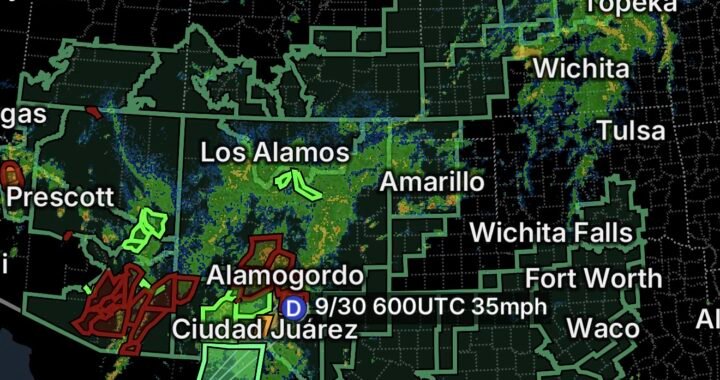
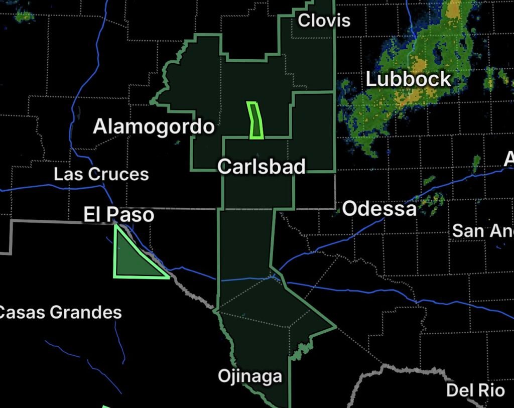
A widespread flooding threat is affecting portions of New Mexico and Southwest Texas on September 25, 2026.
Flood Watches cover portions of central, east-central, and southeastern New Mexico, as well as parts of southeastern New Mexico and Southwest Texas. Flood Warnings are also in effect for the Pecos River near Lake Arthur and the Rio Grande at Johnson Ranch near Castolon, Texas.
The combination of elevated river levels and the potential for additional heavy rainfall means residents in flood-prone areas should remain alert for changing conditions.
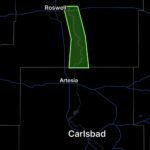
Flood Warning: Pecos River Near Lake Arthur
A Flood Warning is in effect for the Pecos River near Lake Arthur, New Mexico.
Rising river levels can affect areas near the river, including low-lying land, roads, agricultural areas, and other locations close to the waterway.
Residents near the Pecos River should monitor updated river forecasts and avoid entering areas affected by flooding.
Flood Watches Across New Mexico
Flood Watches cover portions of central, east-central, and southeastern New Mexico.
A Flood Watch means conditions are favorable for flooding to develop. Heavy rainfall can quickly overwhelm drainage systems, especially in areas that have already received significant rainfall or have saturated ground.
Residents should be prepared to take action if a Flood Warning is issued for their location.
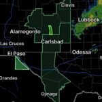
Flood Watch Extends Into Southwest Texas
A separate Flood Watch covers portions of southeastern New Mexico and Southwest Texas.
Thunderstorms capable of producing heavy rainfall can result in rapid runoff and flooding. Low-water crossings, normally dry washes, arroyos, and other drainage areas can become dangerous with little notice.
Flood Warning: Rio Grande at Johnson Ranch Near Castolon
A Flood Warning is in effect for the Rio Grande at Johnson Ranch near Castolon, Texas.
Flooding along the Rio Grande can affect riverbanks, low-lying areas, roads, trails, and recreational locations near the river.
Visitors and residents near the river should stay away from rapidly moving or elevated water and follow local safety guidance.
Why Flash Flooding Can Be Dangerous
Southwestern flooding can be particularly dangerous because normally dry channels, washes, and low-water crossings can fill rapidly during heavy rainfall.
Water may also continue flowing downstream after rainfall has ended upstream. A location that appears dry can become flooded quickly.
Essentials: Flood Safety
- 🌧️ Monitor alerts: Keep up with National Weather Service and local emergency updates.
- 🌊 Move to higher ground: Leave low-lying areas if flooding threatens.
- 🚗 Never drive through floodwater: Water can hide washed-out roads and debris.
- 🚶 Avoid flooded crossings: Do not walk through moving water.
- 🏜️ Stay out of washes and arroyos: These areas can flood rapidly during thunderstorms.
- 📱 Keep emergency alerts enabled: Conditions can change quickly.
- 🏠 Protect important belongings: Move valuables and essential equipment to higher locations if flooding is approaching.
- Turn around, don’t drown: Never risk your life or vehicle attempting to cross a flooded roadway.
What Residents Should Watch For
Residents across the watch areas should be prepared for additional warnings if rainfall causes rivers, streams, washes, or drainage systems to rise.
People near the Pecos River and Rio Grande should pay particular attention to river forecasts and local emergency information because river flooding can persist even after the heaviest rainfall has ended.
Bottom Line
Flooding remains a significant concern across portions of New Mexico and Southwest Texas, with active Flood Warnings along the Pecos River near Lake Arthur and the Rio Grande near Johnson Ranch at Castolon.
Residents should stay alert, avoid flooded areas, and be ready to move to higher ground if conditions worsen.
Turn around, don’t drown.