Dangerous Fire Weather Expected Wednesday and Thursday
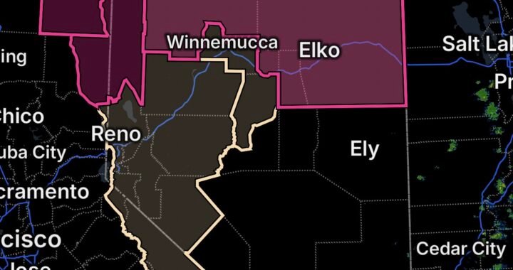
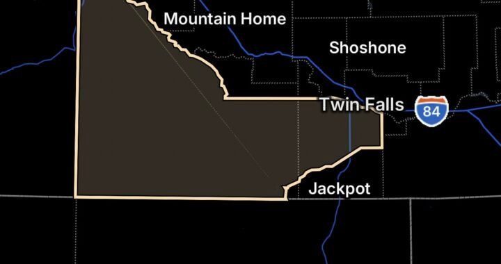
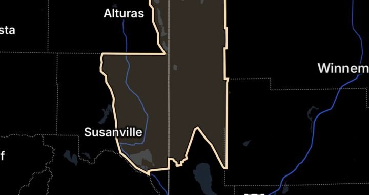
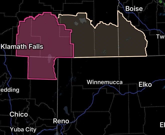
A significant period of critical fire weather is developing across parts of northern California and southern Oregon, with a Red Flag Warning and Fire Weather Watch covering California Fire Weather Zone 285 and Oregon Fire Weather Zones 624 and 625.
According to the National Weather Service in Medford, the Red Flag Warning is in effect Wednesday, August 26, from 11 a.m. to 8 p.m. PDT, while the Fire Weather Watch covers Thursday, August 27, from late morning through the evening. (National Weather Service)
The combination of very dry air and strong, gusty winds could create conditions favorable for rapid wildfire growth.
Where the Fire Weather Threat Is Highest
The affected area includes:
- California Fire Weather Zone 285: Modoc County, except for the Surprise Valley.
- Oregon Fire Weather Zone 624: The Klamath Basin and Fremont-Winema National Forest, with the Thursday watch focused mainly from around the Wright’s Spring Fire and Bonanza eastward.
- Oregon Fire Weather Zone 625: South-central Oregon desert areas, including BLM lands in eastern Lake and western Harney counties. (National Weather Service)
These areas contain extensive dry vegetation and fuels capable of supporting rapid fire spread when wind and low humidity occur together.
Winds Could Push Fires Quickly
One of the biggest concerns is the expected increase in winds.
The National Weather Service forecasts south to southwest winds of 15 to 25 mph, with gusts reaching approximately 30 to 40 mph across the affected areas Wednesday and Thursday. (National Weather Service)
Strong winds can rapidly push flames into unburned vegetation. They can also carry embers ahead of the main fire, potentially creating spot fires and making containment more difficult.
For communities near active or recent wildfire areas, this combination deserves particular attention.
Humidity Falling to 9–15 Percent
Extremely dry air will be another major factor.
Daytime relative humidity is expected to fall to approximately 9% to 15% during the critical fire-weather periods. (National Weather Service)
Why Low Humidity Matters
Relative humidity measures how much moisture is present in the atmosphere compared with the maximum amount the air could hold at that temperature.
When humidity falls into the single digits or lower teens, fine fuels such as grasses, leaves, needles and small branches can become exceptionally dry. As a result, an ignition can transition into a spreading wildfire much more quickly.
When low humidity and strong winds occur together, the threat becomes substantially greater.
Wright’s Spring Fire Area Remains a Concern
Oregon Fire Weather Zone 624 includes areas around the Wright’s Spring Fire, the Klamath Basin and portions of the Fremont-Winema National Forest. Previous National Weather Service fire-weather messages have specifically identified the Wright’s Spring Fire area as vulnerable to rapid fire spread during periods of gusty winds and low humidity. (National Weather Service)
The latest warning broadens the concern across Zone 624, particularly from around Wright’s Spring Fire and Bonanza eastward, while also covering all of Zone 625. (National Weather Service)
What a Red Flag Warning Means
A Red Flag Warning does not mean that a wildfire is currently burning everywhere within the warning area.
Instead, it means weather conditions are occurring or are expected soon that can support rapid and potentially dangerous wildfire growth.
During a Red Flag Warning, residents should take wildfire restrictions seriously and avoid activities that could create sparks or flames.
What a Fire Weather Watch Means
A Fire Weather Watch means critical fire-weather conditions are possible during the watch period.
In this case, the watch is focused on Thursday, when strong winds and very low humidity could again create an environment capable of supporting rapid fire spread. (National Weather Service)
Because a watch can later be upgraded to a Red Flag Warning, residents should monitor forecasts and emergency information closely.
Fire Safety: One Spark Can Become a Wildfire
With humidity potentially dropping as low as 9%, residents should avoid unnecessary ignition sources.
During the Critical Fire-Weather Period
- Follow all local fire restrictions.
- Avoid outdoor burning.
- Do not use equipment that can create sparks near dry vegetation.
- Secure trailers and equipment that could produce sparks.
- Extinguish cigarettes completely and never discard them outdoors.
- Avoid parking vehicles on dry grass.
- Keep evacuation routes accessible.
- Have emergency alerts enabled on your phone.
- Know at least two ways out of your neighborhood or community.
- If authorities issue an evacuation warning or order, act immediately.
Be Ready Before Conditions Peak
Wildfire conditions can deteriorate quickly when wind increases and humidity falls.
Residents in and around the affected areas should review evacuation plans, gather essential documents and medications, keep vehicles fueled, and monitor official emergency notifications.
The National Weather Service also recommends following fire restrictions and signing up for local emergency alerts. (National Weather Service)
Radar Watch HQ Final Thoughts
The upcoming fire-weather setup across California Fire Weather Zone 285 and Oregon Fire Weather Zones 624 and 625 deserves close attention.
The combination of 9–15% daytime humidity, south to southwest winds of 15–25 mph and gusts of 30–40 mph creates an environment where a new ignition could spread rapidly. (National Weather Service)
The greatest priority is prevention. With vegetation already dry across much of the region, one spark can become one wildfire.
Stay informed, follow fire restrictions, prepare for possible evacuation and continue monitoring official updates as Wednesday’s Red Flag Warning and Thursday’s Fire Weather Watch approach.
Stay weather-aware. Stay fire-ready. And remember: one less spark can mean one less wildfire.