Moose Fire in Montana: Level 3 Evacuation Order Issued – August 11, 2026
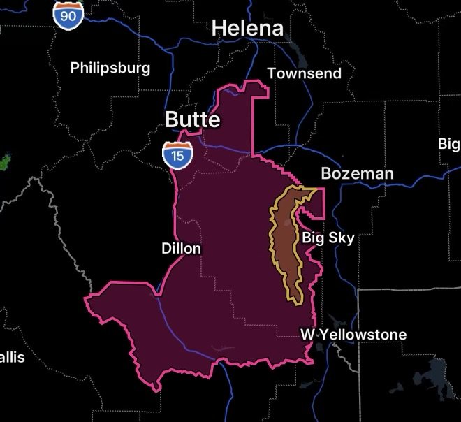
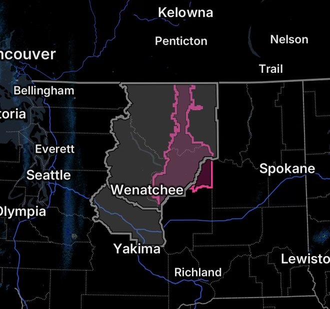
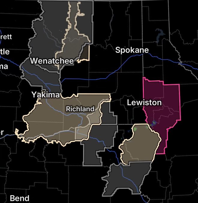
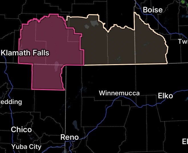
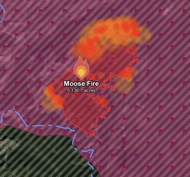
Moose Fire in Granite County, Montana, has a Level 3 evacuation order as an active Red Flag Warning creates dangerous wildfire conditions.
Welcome to Radar Watch HQ – Your Trusted Source for Weather News, Severe Weather Updates, and Preparedness Information.
Helping You Stay Ahead of Severe Weather.
Moose Fire in Granite County, Montana, has a Level 3 evacuation order as an active Red Flag Warning creates dangerous wildfire conditions.
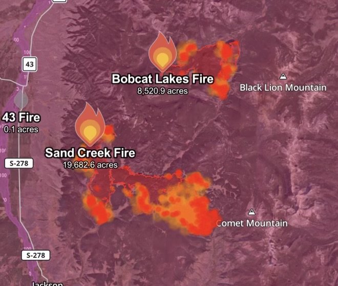
Two wildfires, Sand Creek and Bobcat Lakes, are active in Beaverhead County, Montana, as a Red Flag Warning brings dangerous fire-weather conditions.
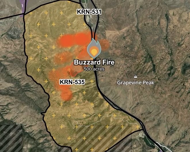
Buzzard Fire burns 500 acres in Kern County, California. Level 2 evacuation issued as firefighters battle dangerous wildfire conditions. August 5, 2026.
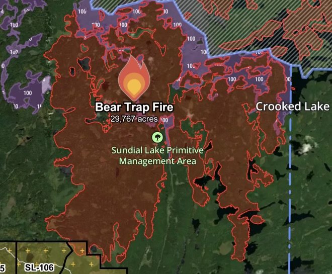
The Bear Trap Fire in Lake and St. Louis Counties, Minnesota has burned 29,767 acres and is 40% contained. Evacuation Level 2 remains in effect.
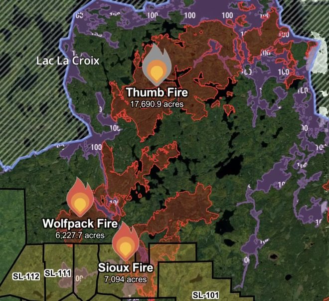
Minnesota wildfire update for August 5, 2026. Thumb Fire burns 17,690 acres at 50% containment, Wolfpack Fire 6,227 acres with Level 2 evacuations, and Sioux…
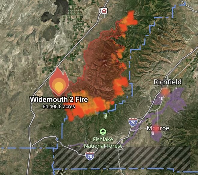
Widemouth 2 Fire in Millard and Sevier Counties, Utah burns 84,408 acres as evacuation orders remain active. Learn about fire conditions and impacts.
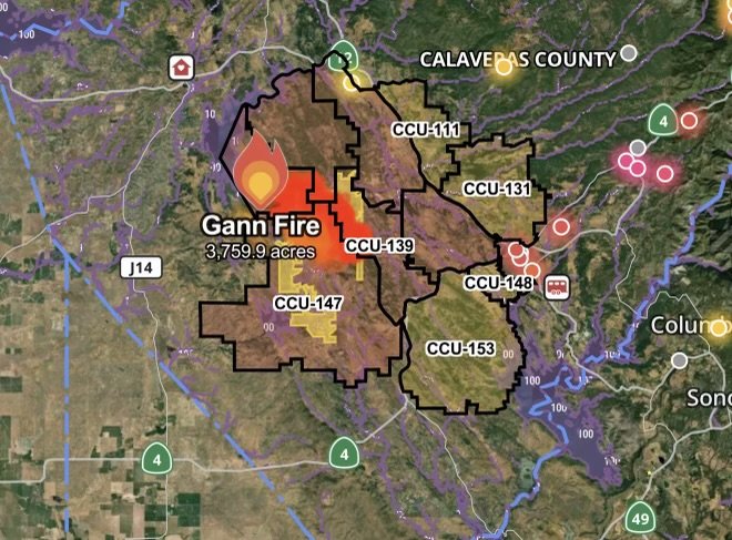
Gann Fire burns 3,759 acres in Calaveras County, California with 0% containment. Evacuation Orders remain in effect as firefighters battle the fast-growing wildfire on August…
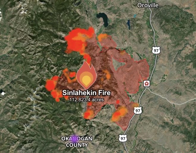
The Sinlahekin Fire is burning in Okanogan County, Washington. Get the latest wildfire update, current conditions, safety information, and preparedness tips for August 4, 2026.
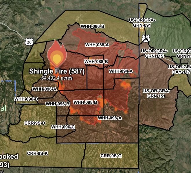
Shingle Fire in Oregon continues to grow as evacuation orders remain in effect. Get the latest wildfire update, fire conditions, and safety information.
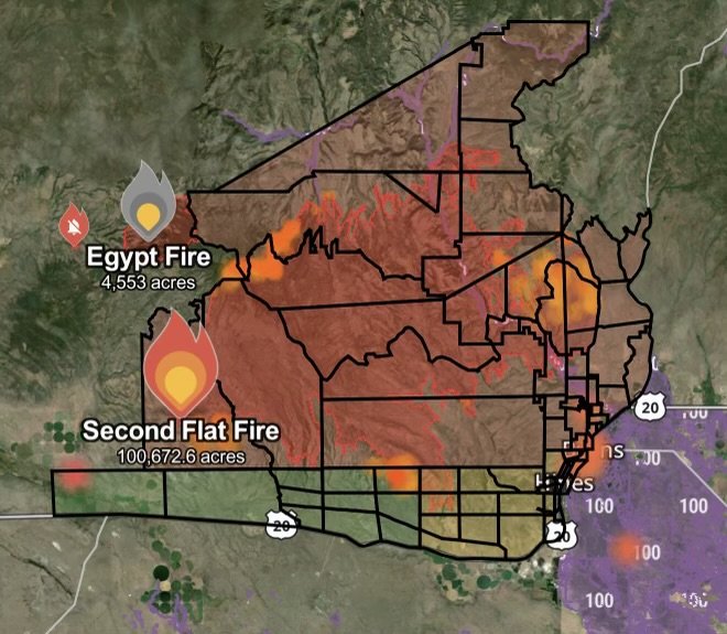
Second Flat Fire evacuation orders remain in effect in Harney County, Oregon, while firefighters continue containment efforts on the Egypt Fire. Latest wildfire update.
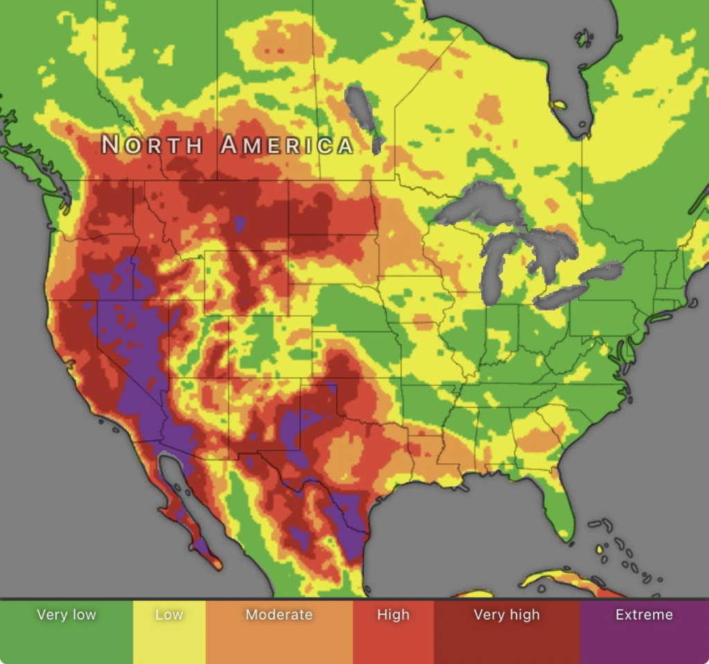
Fire danger remains elevated across the US as high temperatures, dry conditions, and wildfire smoke continue impacting air quality nationwide on July 29, 2026.
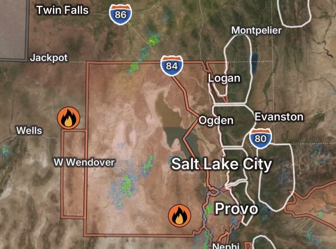
Stookey Wildfire and Hoppie Basin Wildfire updates as Heat Advisories impact Utah’s Great Salt Lake Desert, Tooele Valley, Western Uinta Basin, and Southeastern Elko County.
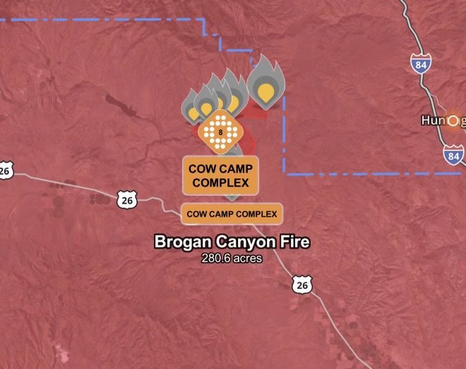
Cow Camp Complex grows to 8,044.3 acres in Malheur County as the Brogan Canyon Fire reaches 75% containment. Red Flag Warning remains in effect across…
The Biscar Fire near Adin, California continues to expand amid strong winds and dry vegetation. Get the latest wildfire updates, evacuation information, safety tips, and…
A Flash Flood Warning has been issued for Beaver, Utah. Learn why recent fire weather, Red Flag Warnings, and wildfire burn scars can significantly increase…
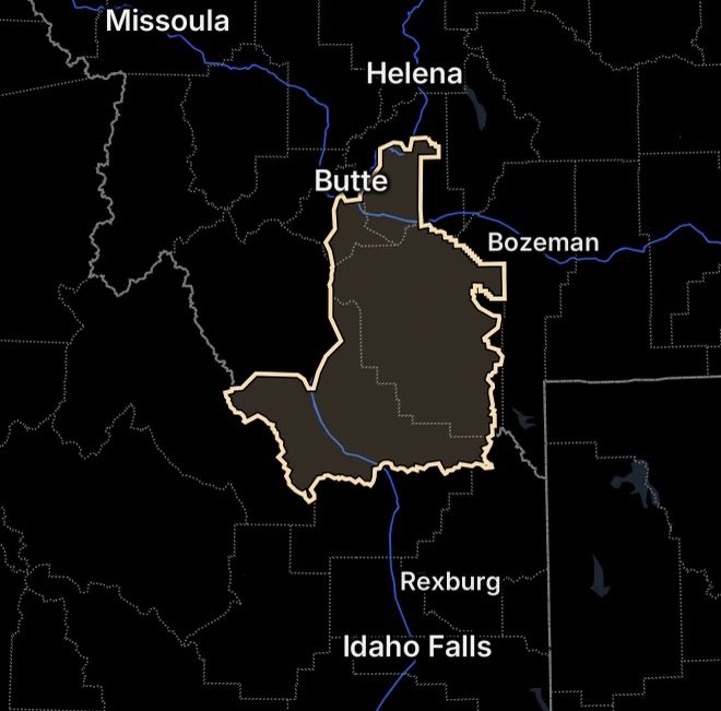
Red Flag Warnings are in effect across portions of Idaho and Montana as thunderstorms, frequent lightning, and strong wind gusts up to 60 mph create…
The Baker Fire has been reported in Millard County, Utah, burning approximately 5 acres. Here’s what we know about the wildfire, current conditions, and safety…
Poison Ivy Fire in Benson County, North Dakota burns 3.2 acres. Fire crews respond as officials monitor wildfire conditions and potential impacts.
The Shell Wildfire in Florida remains active at 2,795 acres and 95% contained. Learn what it means for nearby communities, how Saharan Dust is affecting…
The Sioux Fire has grown to 7,368 acres in St. Louis County, Minnesota. Evacuations remain in effect as the Wolfpack Fire officially merges with the…
The Bear Trap Fire has grown to 13,500 acres north of Sunday Lake in Minnesota’s Boundary Waters Canoe Area Wilderness. Read the latest evacuation information,…
The Camp Fire burning northeast of Ely, Minnesota, has prompted evacuation orders across Lake and St. Louis Counties. Get the latest wildfire updates, evacuation status,…
The Airport Fire has burned 9.3 acres in Kern County, California. Learn the latest wildfire update, potential impacts on nearby communities, and what residents should…
The Pointe Fire near Santa Clarita in Los Angeles County has burned 58.5 acres and is 32% contained. Learn about the temporary evacuation point, firefighting…
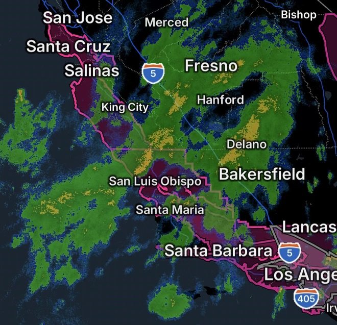
A Red Flag Warning is in effect for Santa Barbara and Ventura Counties, including the Santa Ynez Mountains, Interstate 5 Corridor, and Los Padres National…